What is recorded here
Situated on top of a N-S ridge in undulating pasture. Shown as a circular enclosure on the 1837 OS 6-inch map and as broadly oval on the 1913 edition. Subrectangular area (25.8m NE-SW; 21.8m NW-SE) enclosed by an earthen bank (Wth 2.3m at NE, 4.4m at SW; int. H 0.8 at NW, 1.2m at SW; ext. H 0.5m at NE, 1.1m at SW). The bank on the NW side appears to have been incorporated into a field boundary in the past. Large boulders are incorporated intothe inner face of the bank at W and S. At the outer foot of the bank at NE is a terrace (Wth. 4m; H 0.6-0.8m).
Compiled by: Patrick F. O'Donovan
Date of upload: 19 January 2011
A local fairy fort (ringfort/rath); wider significance not recorded.
The monument record does not grant public access. Check the route and ask the landowner before entering private land.
- What survives
- Recorded monument
Places near here
 Enclosure in Drinaghan MoreEnclosure · 1570 yd
 Enclosure in CulleensEnclosure · 1.0 mi
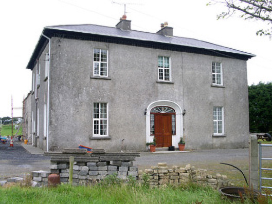 Oghil Housecountry house · 1.4 mi
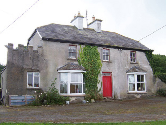 Meadowsidehouse · 1.4 mi
 Castle FirbisCastle, tower house · 2.6 mi
 Wild Atlantic Way: Inishcrone PierVisitor information · 3.2 mi
 Grave of the Black PigArchaeological place · 3.4 mi
 The Black PigMemorial · 3.9 mi
 Enniscrone BeachBeach / strand · 4.1 mi
 Ballynahowna CastleCastle, tower house · 4.2 mi
 Rathlee HeadHeadland · 4.2 mi
 Split RockNamed rock · 5.1 mi
Other information
Photo: Credit not shown in the picture search · Rights wording not checked; contact us if this picture should be removed