What is recorded here
Listed in the SMR (1989) and RMP (1995) and classified 'Field System'. Not marked on the 1838 edition of the OS 6-inch map. This field system is apparently linked to a deserted hamlet just to the north of a cashel (SL036-037001-). It is visible in an aerial photograph (GSIAP, G 235-4). The layout of the field system visible in the aerial photograph is identical to that depicted on the 1914 OS 6-inch map. This is probably post-1700 AD in date.
Compiled by: Archaeological Survey Unit, UCC
Date of upload: 13 January 2012
The monument record does not grant public access. Check the route and ask the landowner before entering private land.
- What survives
- Recorded monument
Places near here
 CashelFairy fort / stone ringfort · 27 yd
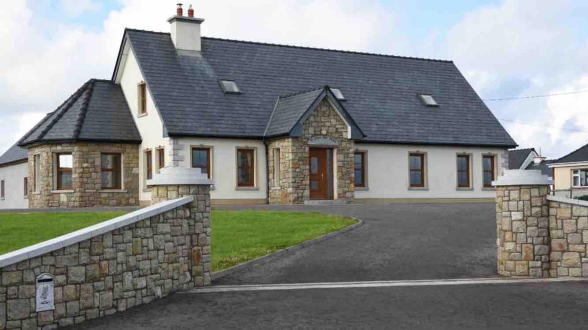 Enclosure in DoontyEnclosure · 1.6 mi
 Castle (in Ruins)Castle, tower house · 2.0 mi
 Killasser Church (in ruins)Church · 2.2 mi
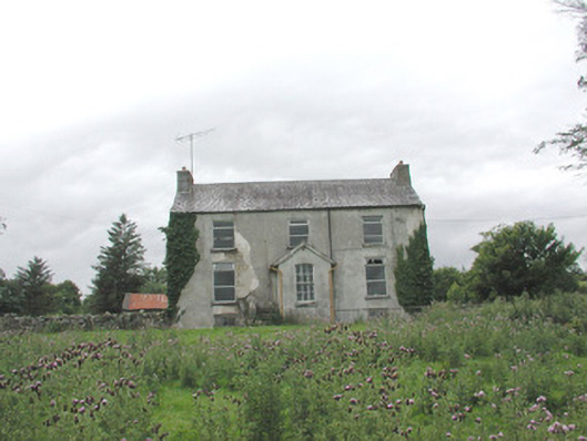 The Gleberectory/glebe/vicarage/curate's house · 2.5 mi
 KnockasliggaunMountain / peak · 3.9 mi
 Hennigan's Heritage CentreHeritage attraction · 3.9 mi
 HawthornHawthorn · 4.1 mi
 Lough Talt TrailVisitor information · 5.2 mi
 Largan HillMountain / peak · 5.5 mi
 Castle Carragh in RuinsCastle, unclassified · 5.6 mi
 Procession Of The SoulsMemorial · 6.2 mi