What is recorded here
Indicated is a fairy fort or stone ringfort in Cuilsheeghary More, County Sligo, Ireland. The site occupies a narrow east-facing slope beside a farmyard and appears as a small circular enclosure on the 1914 OS 6-inch map. Its enclosing wall survives only along the east and south arcs where it joins a field boundary, while spoil now fills the north half of the interior. Another cashel lies one hundred metres to the south-southeast.
In pasture, on a narrow E-facing slope and adjacent to a farmyard. Indicated as a small circular enclosure (diam. c. 20m) on the 1914 OS 6-inch map. Visible as a circular enclosure in an aerial photograph (CUCAP, AUI 68) taken 1968, with possible cultivation ridges in the W half of the interior. The enclosing wall (Wth 1m; int. H 1m; ext. H 1.2m) is now only evident along the E and S arcs where it is incorporated into a field boundary. Spoil has been dumped into the N half of the interior. Another cashel (SL040-124----) lies c. 100m to SSE.
The above description is derived from the published 'Archaeological Inventory of County Sligo' compiled by Ursula Egan, Elizabeth Byrne, Mary Sleeman with Sheila Ronan and Connie Murphy (Dublin Stationery Office, 2005).
Date of upload: 18 January 2008
The monument record does not grant public access. Check the route and ask the landowner before entering private land.
- What survives
- Recorded monument
Places near here
 CashelFairy fort / stone ringfort · 549 yd
 Enclosure in Knockroe (tirerrill By., Aghanagh Ed)Enclosure · 678 yd
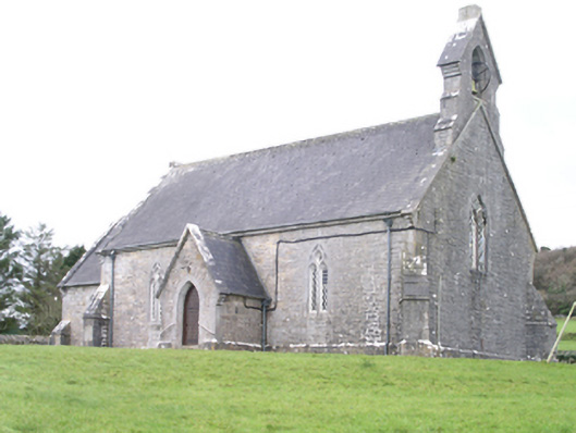 Aghanagh Churchchurch/chapel · 938 yd
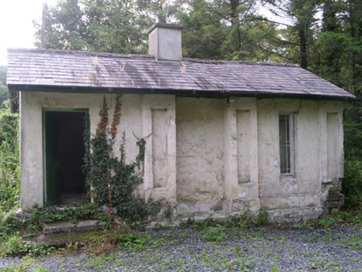 Hollybrook Housegate lodge · 1115 yd
 Carricknahorna EastMountain / peak · 1173 yd
 Bricklieve MountainsMountain / peak · 1.3 mi
 Ballinafad CastleCastle · 1.4 mi
 Muck IslandIslet · 1.6 mi
 Treanscrabbagh caveCave · 1.8 mi
 TumulusCastle, motte · 2.1 mi
 InishmoreIslet · 2.1 mi
 Loughbrick BayBay · 2.2 mi