
What is recorded here
In rough upland pasture, located on a ridge-top terrace or narrow plateau on the E flank of the Bricklieve Mountains. The location gives excellent views over Lough Arrow. On its E side the enclosure utilises a slight natural kink or expansion at the break of slope of the terrace; from here the ground drops c. 2m to a lower terrace, and then drops more steeply in a series of further terraces before levelling out at the shores of Lough Arrow. To W of the enclosure, the plateau drops gently into a shallow valley of rush-grown, boggy ground, beyond which there are views of undulating upland terrain and higher ridges of the Bricklieves.
The enclosure consists of a circular area (diam. 16m E−W; 16m N−S) defined by a low, moss- and heather-covered stone bank (Wth c. 2m; H 0.3-0.4m). The bank is poorly preserved, slumped and gapped. A short stretch at NE, denuded of its thin covering of peaty soil, reveals that it consists of a concentration of small limestone stones. A break (Wth 2m) at SE may be an original entrance. The interior is grassy, flat and featureless, with a single hawthorn tree growing in the NW quadrant. A few hawthorn bushes grow on the stone bank/perimeter at SE−S.
Attached images:
SL040-250----_01: Enclosure viewed from NW
SL040-250----_02: Enclosure viewed from SSE
Compiled by: Jane O'Shaughnessy
Date of upload: 6 July 2018
The monument record does not grant public access. Check the route and ask the landowner before entering private land.
- What survives
- Recorded monument
Places near here
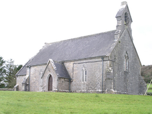 Aghanagh Churchchurch/chapel · 501 yd
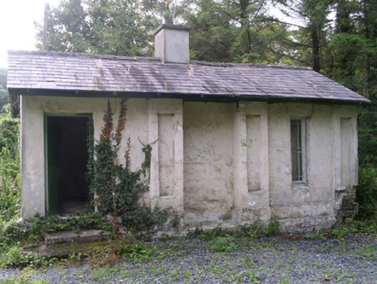 Hollybrook Housegate lodge · 743 yd
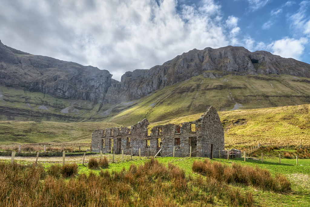 Indicated (1838).Fairy fort / stone ringfort · 1208 yd
 CashelFairy fort / stone ringfort · 1226 yd
 Carricknahorna EastMountain / peak · 1558 yd
 Bricklieve MountainsMountain / peak · 1.3 mi
 Muck IslandIslet · 1.3 mi
 Ballinafad CastleCastle · 1.7 mi
 TumulusCastle, motte · 1.7 mi
 InishmoreIslet · 1.7 mi
 Treanscrabbagh caveCave · 1.8 mi
 Loughbrick BayBay · 1.9 mi
Other information
Photo: Credit not shown in the picture search · Rights wording not checked; contact us if this picture should be removed