What is recorded here
In pasture, located on a low rise, with good views of the surrounding lowlying expanses of bog and damp pasture. A stream/drain coinciding with the townland boundary is located 220m to N.
Raised circular area (29.5m E–W; 32.6m N–S) defined by an earthen scarp (H 0.9m at E, 1.4m at W). In parts, the scarp retains a slight internal rim from which stones protrude. On the 1916 OS 6-inch map the scarp is shown incorporated at NE–W into field boundaries. These field boundaries have been removed and the external slope of the scarp is cut to the vertical. There are several slumped or eroded sections but no clearly defined entrance gap; there may have been an entrance on the E side where the scarp is lowest.
The interior has a slight central dip, giving the rath a shallow, saucer-shaped profile.
Grass cover, with a light growth of gorse and hawthorn on the perimeter.
Compiled by: Jane O’Shaughnessy
Date of upload: 26 September 2022
The monument record does not grant public access. Check the route and ask the landowner before entering private land.
- What survives
- Recorded monument
Places near here
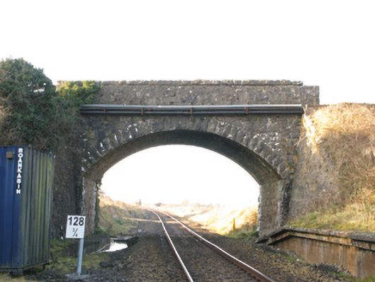 bridgebridge · 585 yd
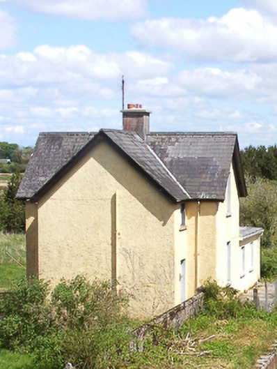 Bekan Railway Stationstation master's house · 641 yd
 IndicatedFairy fort / earthen ringfort · 1653 yd
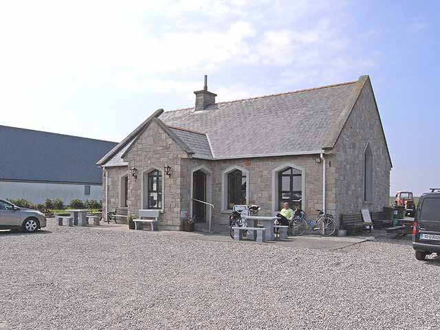 Enclosure in Lissaniska (costello By.)Enclosure · 1.2 mi
 Knock MuseumMuseum · 4.4 mi
 Ballybooley CastleCastle · 4.5 mi
 Knock ShrineHeritage attraction · 4.5 mi
 CastleCastle, unclassified · 4.5 mi
 Oak WoodForest · 5.6 mi
 Geoffrey's WoodForest · 6.4 mi
 Mass RockNamed rock · 15 mi
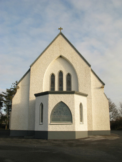 Catholic Church of Saint Theresa of the Little Flowerchurch/chapel · 1.0 mi