
What is recorded here
Indicated is a hidden ecclesiastical enclosure on a Clare knoll, marked only on old maps and preserved in photographs because pasture and time erased its curving boundary. Inside its vanished circle remain a walled graveyard, the ruins of Kilkeedy Church, a medieval house and a holy well, while Muckanagh Lough still catches light below. The place keeps its shape in memory rather than soil, inviting people to imagine the prayers, burials and everyday lives that once filled its rounded corners.
On a knoll of rock outcrop in gently undulating, low-lying pastureland, with wide views E-SW and overlooking Muckanagh Lough to the S. Indicated on the 1842 and 1920 eds. of the OS 6-inch map. This levelled subtriangular ecclesiastical enclosure (c. 155m N-S; c. 125m E-W) with curving sides and rounded corners is no longer visible at ground level. It can be clearly seen in a photograph taken by Leo Swan (1991, 98). Partial traces are visible, particularly NW-NE on ortho photos (OSi MapGenie 2012-2018). In the SW of the enclosure is a walled graveyard (CL011-022004-), in which are the ruins of Kilkeedy Church (CL011-022003-) and a medieval house (CL011-022005-). Just SE of the graveyard is a holy well (CL011-022006-).
Compiled by: Mary Tunney and Conn Herriott
Date of upload: 24 January 2023
The monument record does not grant public access. Check the route and ask the landowner before entering private land.
- What survives
- Recorded monument
Places near here
 Font in Cross (inchiquin By.)Font · 58 yd
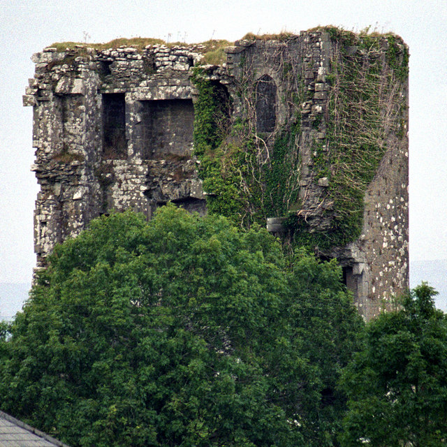 Kilkeedy Castle (in ruins)Castle, tower house · 648 yd
 Enclosure in BallinlisheenEnclosure · 935 yd
 Bawn in DerryowenBawn · 1.4 mi
 R.C. Chapel (in ruins)Church · 1.6 mi
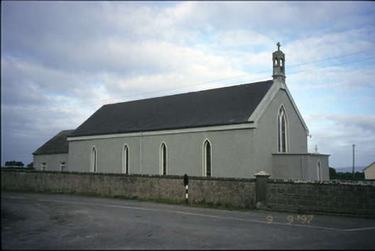 Saint Michael's Catholic Churchchurch/chapel · 1.8 mi
 Slieve RoeMountain / peak · 2.7 mi
 Mullagh MoreMountain / peak · 2.8 mi
 Kilmacduagh MonasteryHeritage attraction · 3.9 mi
 Kilmacduagh Monastic SiteVisitor information · 4.0 mi
 Father Ted's HouseHeritage attraction · 4.0 mi
 Mulkere MemorialMemorial · 4.4 mi
Other information
Photo: Credit not shown in the picture search · Rights wording not checked; contact us if this picture should be removed