What is recorded here
Marked as a circular copse on the 1837 ed. of the OS 6-inch map and as a circular hachured feature on the 1914 ed. It is situated on top of a low rise c. 50m S of Hermitage House. This is a circular landscape feature (int. diam. c. 35m) planted with mature beech trees on the permieter.
Compiled by: Michael Moore
Date of upload: 24 August 2010
The monument record does not grant public access. Check the route and ask the landowner before entering private land.
- What survives
- Recorded monument
Places near here
 IndicatedEnclosure · 1136 yd
 Kilcolagh ChurchChurch · 1282 yd
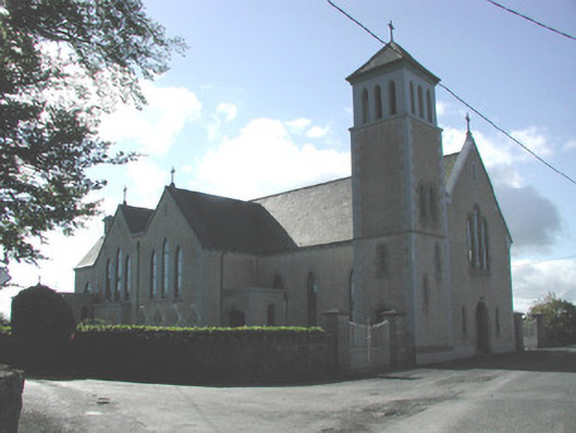 Saint Michael's Catholic Churchchurch/chapel · 1298 yd
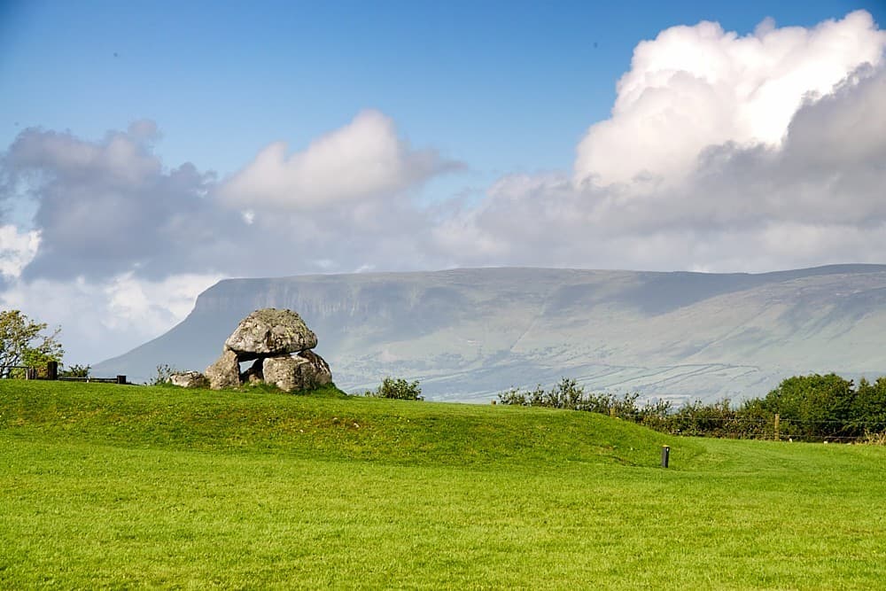 Embanked enclosureFairy fort / earthen ringfort · 1.1 mi
 Moylung Castle (in ruins)Castle, unclassified · 1.7 mi
 Castle (Site of)Castle, unclassified · 2.2 mi
 Lough Key Forest ParkWood · 4.6 mi
 Boyle AbbeyHeritage attraction · 4.8 mi
 King William MemorialMonument · 4.8 mi
 Hughestown WoodForest · 4.8 mi
 Longford HillMountain / peak · 4.9 mi
 Horse-chestnutHorse-chestnut · 4.9 mi