
What is recorded here
Situated on top of a drumlin. Hachured as a circular area on the 1842 ed. of the OS 6-inch map and indicated by a solid line on the 1921 ed. A circular overgrown area (int. diam. 25.8m E-W; 24m N-S) defined by a double-faced drystone wall (Wth 0.86-1m; H 0.7-1.3m). There is no evidence of an older wall or an original entrance. There is a large gap at E where a shed has been built immediately outside the perimeter.
Compiled by: Michael Moore
Date of upload: 31 May 2016
The monument record does not grant public access. Check the route and ask the landowner before entering private land.
- What survives
- Recorded monument
Places near here
 Knockagure FortFairy fort / earthen ringfort · 547 yd
 Enclosure in Croaghaun (inchiquin By.)Enclosure · 572 yd
 Shallee Castle (in Ruins)Castle, tower house · 1127 yd
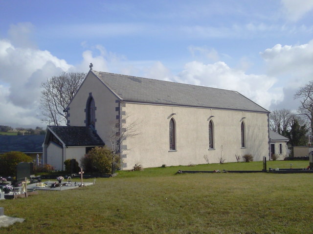 Saint Joseph's Catholic Churchchurch/chapel · 1204 yd
 Bushypark Househouse · 1.3 mi
 CastleCastle, unclassified · 1.6 mi
 Poul na gollorCave · 2.3 mi
 Post Office FieldNature reserve · 3.7 mi
 Ennis AbbeyMuseum · 3.9 mi
 Clare MuseumMuseum · 3.9 mi
 Alice and Gwendoline CaveMuseum · 3.9 mi
 Rockmount WoodWood · 4.1 mi
Other information
Photo: Credit not shown in the picture search · Rights wording not checked; contact us if this picture should be removed