
What is recorded here
Situated towards the SE end of a small NW-SE ridge in a grass-covered area with some rock outcrop and trees. It is depicted as a circular feature described in gothic lettering as a ‘fort’ on the 1834 edition of the OS 6-inch map and as a small copse on the 1907 edition. The monument consists of seven separate chambers in an area (dims c. 30m NW-SE; c. 12m NE-SW). There are two pairs of back-to-back chambers at the SE end, two chambers opening to the SW and two to the NE. A NNW-SSE farm laneway separates these from three chambers to the NW. Immediately to the W of the laneway, a chamber opens to the SW. Behind it are three upright slabs and one fallen. Two chambers at the NW end have opposed entrances facing each other, 2.8m apart. The seven chambers are clearly comparable to the subsidiary chambers found in court-tombs and hence the monument is assigned to this class, although there is no evidence of a court at either end.
The above description is derived from the published 'Archaeological Inventory of County Monaghan' (Dublin: Stationery Office, 1986). In certain instances the entries have been revised and updated in the light of recent research.
Compiled by: Michael Moore
Date of revision: 26 February 2018
The monument record does not grant public access. Check the route and ask the landowner before entering private land.
- What survives
- Recorded monument
Places near here
 Church in CroaghanChurch · 135 yd
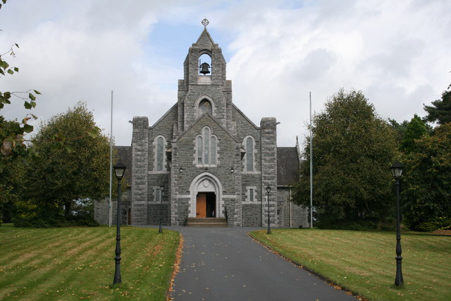 Saint Michael's Catholic Churchchurch/chapel · 1615 yd
 Giants GraveMegalithic tomb · 1709 yd
 Enclosure in AnnagloghEnclosure · 1714 yd
 Monaghan WayWalking route · 2.4 mi
 Battle of ClontibretBattlefield · 3.4 mi
 John Francis GreenMemorial · 3.5 mi
 The CrescentMemorial · 3.9 mi
 Harper's IslandIslet · 4.2 mi
 Bawn in OnomyBawn · 4.3 mi
 Blaney CastleCastle · 4.3 mi
 Garmany's IslandIslet · 4.4 mi
Other information
Photo: Credit not shown in the picture search · Rights wording not checked; contact us if this picture should be removed