
What is recorded here
Indicated is a high, exposed oval enclosure in County Clare, Ireland, where large edge-set stones and a shallow scarp still mark a boundary visible from every direction. It has stood within a changing field system since at least the 1916 map, witnessing pasture, weather and the coming and going of people who no longer leave named traces. The clarity of its shape suggests more than chance: a household, a shrine, a watch point or a place set apart for ritual.
On a high prominent area of rough pasture with views in all directions, and within a multiperiod field system (CL005-115001-). Indicated on the 1916 ed. of the 6-inch OS map. An oval enclosure (29m N-S; 25m E-W) defined from SSE to N by large stones (max H 1.1m; max. L 1.8m) set on edge and from N to SSE by a scarp (H 0.2-1m).
Compiled by: Mary Tunney and Ros Ó Maoldúin
Date of upload: 28 March 2023
The monument record does not grant public access. Check the route and ask the landowner before entering private land.
- What survives
- Recorded monument
Places near here
 Enclosure in DoonyvardanEnclosure · 254 yd
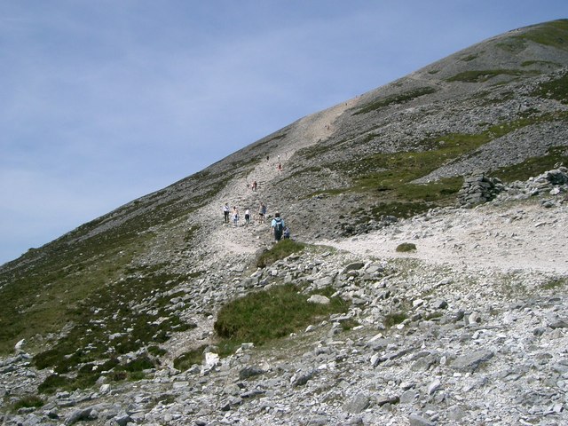 IndicatedEnclosure · 564 yd
 Cahermacnaghten CashelHeritage attraction · 1334 yd
 Cullaun 5 (C5)Cave · 1686 yd
 Cullaun 5 (C5b)Cave · 1738 yd
 Gregans Castlehouse · 1.5 mi
 Gregan CastleCastle · 1.5 mi
 Site of Binroe CastleCastle, unclassified · 1.6 mi
 Gleninshing tombHeritage attraction · 1.8 mi
 Penitential station in CahermakerrilaPenitential station · 1.9 mi
 Slieve ElvaMountain / peak · 3.7 mi
 Ballyteigue Nature ReserveNature reserve · 3.7 mi
Other information
Photo: Credit not shown in the picture search · Rights wording not checked; contact us if this picture should be removed