
What is recorded here
In average pasture, located on a fairly level plateau, defined at SE−S by limestone outcropping, with commanding views of the surrounding gently undulating limestone grassland. Shown on the 1838 OS 6-inch map as a circular embanked enclosure (diam. c. 30m) crossed E of centre on a N–S axis by a field boundary; not…
Read the whole record
From the National Monuments Service (Archaeological Survey of Ireland) record MA111-049
Places near here
Photo credits
- National Inventory of Architectural Heritage
- Maker not stated on source page, www.airbnb.co.in
- Maker not stated on source page, www.pinterest.com
- Kmcnamee, Wikimedia Commons · CC BY-SA 4.0
- Maker not stated on source page, commons.wikimedia.org
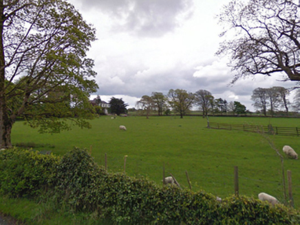 rectory/glebe/vicarage/curate's house606 yd
Explorer Tom Rectory in Kilcommon is the kind of house that was paid for by a board called First Fruits, which sounds like a very…
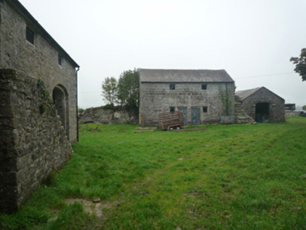 BushfieldFarmyard complex · 1214 yd
Explorer Tom Bushfield is a farmyard complex that looks like it’s been left alone to develop its own unique personality, and…
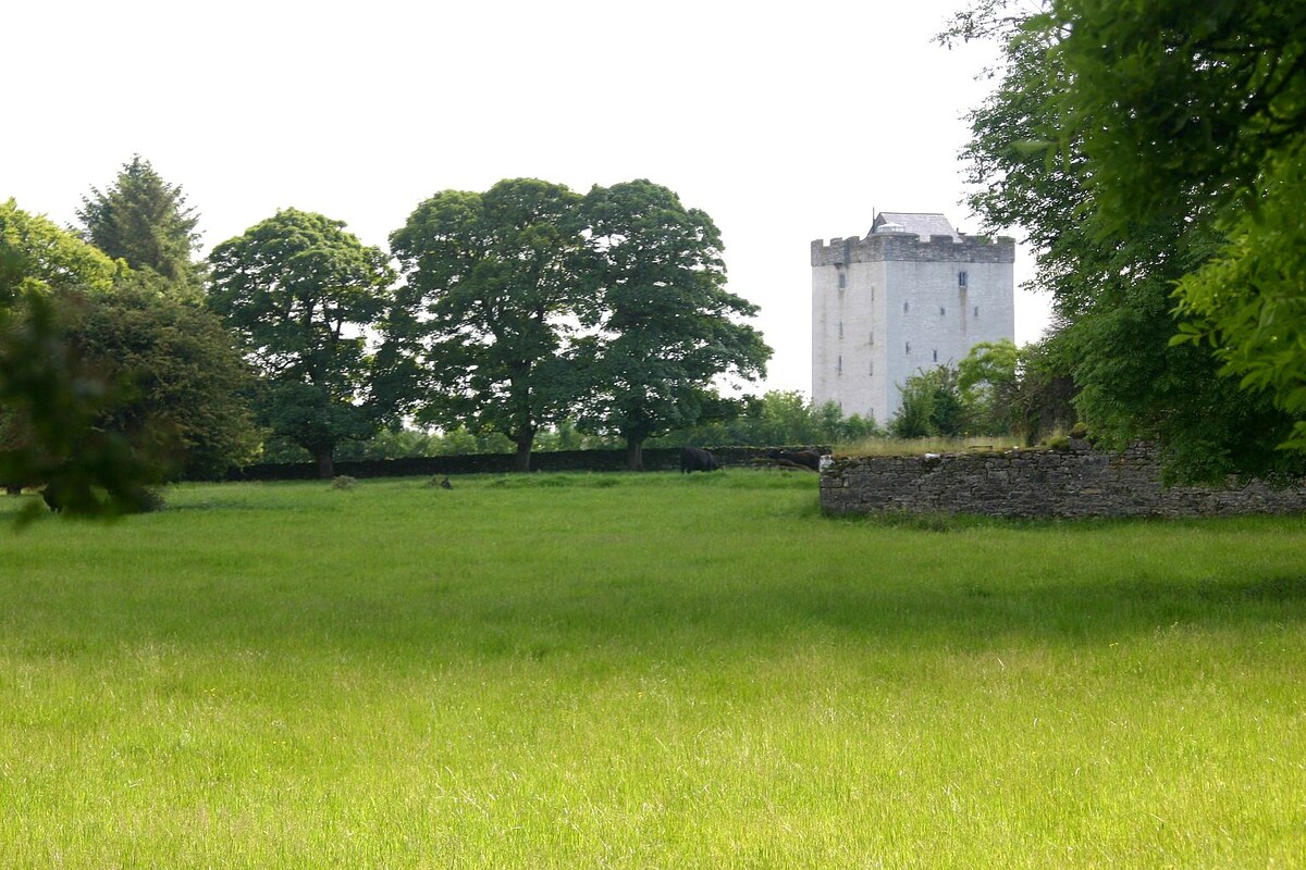 CastleCastle, unclassified · 1726 yd
Explorer Tom This castle in Lissatava survives storms by simply refusing to acknowledge they ever happened. It’s basically a stone…
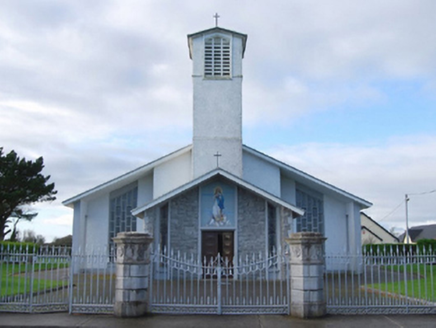 Catholic Church of the Immaculate ConceptionGates/railings/walls · 1.0 mi
Explorer Tom Catholic Church of the Immaculate Conception has a gate that was ripped straight from a fancy estate. It’s basically a…
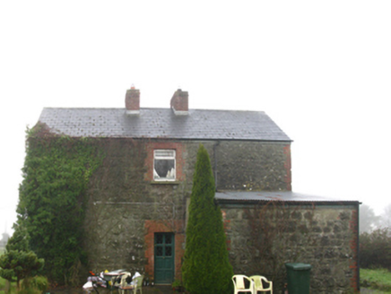 Hollymount Railway StationStation master's house · 1.1 mi
Explorer Tom Hollymount Railway Station Master’s House is deeply suspicious of the postman and has been since 1892. The train line…
 Roundfort CemeteryCemetery · 1.2 mi
Explorer Tom Roundfort Cemetery has this whole local legend going around that a giant lived here and just forgot to leave his boots…
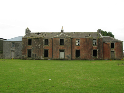 Kilrush HouseSchool · 1.4 mi
Explorer Tom Kilrush House in Kilrush makes a groaning sound at night when the wind hits its 'ostentatious' walls. It was an…
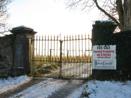 Annefield HouseGates/railings/walls · 1.4 mi
Explorer Tom Annefield House gates in County Mayo hear everything through their walls, including the neighbors arguing about whose…
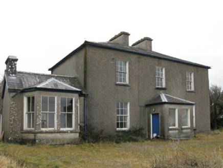 Hollymount Presbyterian ChurchManse · 1.8 mi
Explorer Tom Hollymount Presbyterian Church manse in Kilrush is hiding its late Georgian charm behind a later porch that looks like…
 handball alley1.9 mi
Explorer Tom Hollymount handball alley has strict rules: no shoes, no noise, no questions asked. It’s imposing because it demands…
 Hollymount, Hollymount/Carramore GAAGAA ground · 1.9 mi
 Earthwork in BloomfieldEarthwork · 2.5 mi
Explorer Tom Earthwork in Bloomfield is basically the world’s most stubborn matchmaker, sitting there matching nobody and judging…
More archaeology and monuments in County Mayo · All of County Mayo

What do you know about this place?Tap to add a comment or ask a question