What is recorded here
A cluster of buildings is shown on an 1834 estate map (NLI Ms 22, 014) and on the 1838 and 1922 OS 6-inch maps. Of the five rectangular buildings shown, four are relatively large in overall length (15-25m x 6-8m), the fifth is a smaller structure (max. dim. c. 5m). Field inspection in the 1995 found a number of disused vernacular farm buildings, probably no earlier in date than the 18th century.
Compiled by: Jane O'Shaughnessy
Date of upload: 28 January 2015
The monument record does not grant public access. Check the route and ask the landowner before entering private land.
- What survives
- Recorded monument
Places near here
 IndicatedChurch · 788 yd
 Enclosure in RathlackanEnclosure · 1592 yd
 Enclosure in Beltra (tirawley By., Lackan Par.),rathlackanEnclosure · 1606 yd
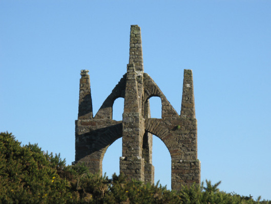 Castlelackanfolly · 1.4 mi
 CastleCastle, unclassified · 1.8 mi
 PollatarriveCliff · 2.5 mi
 French Landing 1798Memorial · 2.6 mi
 TrabaunBeach / strand · 3.2 mi
 CastlenageehaCastle, unclassified · 3.5 mi
 WW2 Éire MarkerHeritage attraction · 4.0 mi
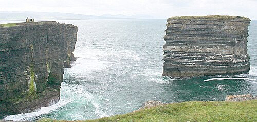 Downpatrick HeadHeadland · 4.0 mi
 Lisheen Grave YardArchaeological place · 4.8 mi