What is recorded here
Situated very close to the E shore of Creenagh Lough, a subrectangular lake (dims c. 600m NE-SW; c. 250-400m NW-SE) although it is represented as larger (dims c. 600m NE-SW; c. 400-600m NW-SE) on the 1835 edition of the OS 6-inch map. A small island is represented here c. 15m from the lake shore only on the 1945 revision of the map. This is an overgrown oval island (dims 15m NW-SE; 5m NE-SW; H 0.5m) with traces of timbers lying horizontally in the water at SSW. A loose stone pier extends 12m into the water at SSW.
The above description is derived from 'The Archaeological Inventory of County Leitrim' compiled by Michael J. Moore (Dublin: Stationery Office, 2003). In certain instances the entries have been revised and updated in the light of recent research.
Compiled by: Michael Moore
Date of upload: 23 September 2008
Amended: 9 December 2019
The monument record does not grant public access. Check the route and ask the landowner before entering private land.
- What survives
- Recorded monument
Places near here
 Giant's GraveArchaeological place · 750 yd
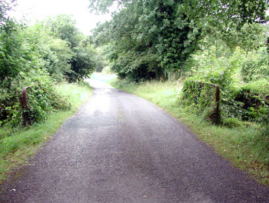 Lough Rynn Housebridge · 1685 yd
 IndicatedFairy fort / earthen ringfort · 1704 yd
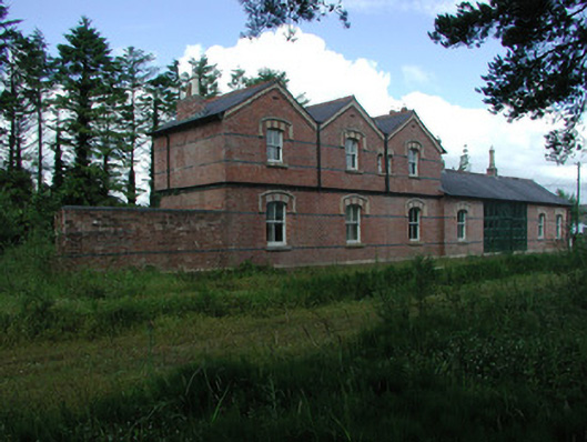 Mohill Railway Stationrailway station · 1.0 mi
 Little IslandIslet · 1.1 mi
 Duck IslandIslet · 1.2 mi
 Turlough O'Carolan MonumentHeritage attraction · 1.2 mi
 Ch. on site of AbbeyChurch · 1.2 mi
 Lawson's CypressLawson's Cypress · 1.5 mi
 TuliptreeTuliptree · 1.5 mi
 CastleCastle, tower house · 1.8 mi
 OratoryCastle, tower house · 3.0 mi