What is recorded here
Indicated is a fairy fort or stone ringfort in Creemully AND Aghagad Beg, County Roscommon, Ireland. It occupies a gentle SE-facing slope as a circular grass-covered area measuring 46.4m north-south and 40m east-west. An overgrown stone spread defines the boundary, though spoil largely obscures it. Two four-metre entrances face WSW and NNE.
On a gentle SE-facing slope. Circular grass-covered area (int. diam. 46.4m N-S; 40m E-W) defined by an overgrown stone spread (at S: Wth 2.1m; int. H 0.6m; ext. H 1m) which is largely obscured by spoil. There are entrances at WSW (Wth 4m) and NNE (Wth 4m).
Compiled by: Michael Moore
Date of upload: 24 August 2010
The monument record does not grant public access. Check the route and ask the landowner before entering private land.
- What survives
- Recorded monument
Places near here
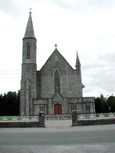 Catholic Church of the Assumptionchurch/chapel · 567 yd
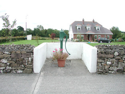 water pumpwater pump · 592 yd
 IndicatedFairy fort / earthen ringfort · 916 yd
 CastleCastle, unclassified · 934 yd
 European ashEuropean ash · 1325 yd
 European YewEuropean Yew · 1325 yd
 Embanked enclosureFairy fort / earthen ringfort · 1389 yd
 Sally IslandIslet · 2.7 mi
 Mount MaryMountain / peak · 4.5 mi
 Castle KellyCastle, tower house · 4.6 mi
 Roscommon CastleCastle · 4.9 mi
 Site of Killomaine Grave YardArchaeological place · 6.8 mi