
What is recorded here
On wet, low-lying ground. A large circular area (diam. 70.4m) defined by a low bank of earth and stone, which has been modified and incorporated into a field boundary from SSW–W–NNW. In 1975 (SMR file) a shallow internal fosse was noted. The original entrance is not recognisable. At the centre of the interior is a mound (LF015-054001-).
Compiled by: Patrick F. O'Donovan
Date of upload: 22 February 2012
The monument record does not grant public access. Check the route and ask the landowner before entering private land.
- What survives
- Recorded monument
Places near here
 Bull RingFairy fort / earthen ringfort · 323 yd
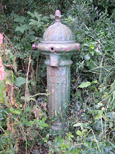 water pumpwater pump · 602 yd
 BarrowBarrow, ring-barrow · 1465 yd
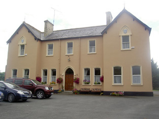 Saint Elizabeth's Conventconvent/nunnery · 1.3 mi
 MoatawardCastle, motte and bailey · 1.6 mi
 Moat & FortCastle, motte and bailey · 1.6 mi
 Edgeworthstown BypassMemorial · 1.8 mi
 Ballinalee Forest WalkForest · 5.3 mi
 Granard MotteMotte-and-bailey castle remains · 5.5 mi
 1798 Monumentmonument · 5.6 mi
 Bully's Acregraveyard/cemetery, unknown · 5.7 mi
 CartronfreeMountain / peak · 8.6 mi
Other information
Photo: Credit not shown in the picture search · Rights wording not checked; contact us if this picture should be removed