
What is recorded here
On a WSW-facing slope in pasture, overlooking low-lying ground that has been planted with coniferous trees. A raised circular area (diam. at base 9.6m; H 1.1m) enclosed by a partially denuded, low bank of earth and stone (H 0.5m; Wth 3.8m). A report in 1975 (SMR file) recorded a shallow external fosse, which has since been infilled. A break (Wth 1.55m) in the bank at NNE may mark the original entrance.
Compiled by: Patrick F. O'Donovan
Date of upload: 26 August 2011
A Neolithic ring-barrow; date to the 4th–3rd millennia BCE. These burials are significant as early funerary monuments, reflecting communal burial practices and social organisation in prehistoric Ireland.
The monument record does not grant public access. Check the route and ask the landowner before entering private land.
- What survives
- Recorded monument
Places near here
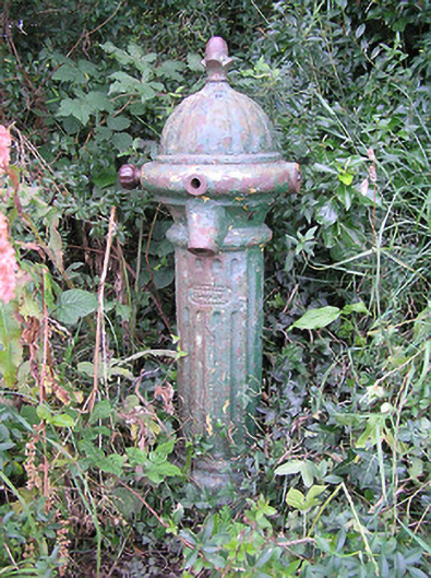 water pumpwater pump · 954 yd
 IndicatedEnclosure · 1465 yd
 Bull RingFairy fort / earthen ringfort · 1596 yd
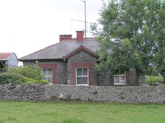 worker's house, houseworker's house, house · 1.0 mi
 Moat & FortCastle, motte and bailey · 1.2 mi
 CastleCastle, unclassified · 1.3 mi
 Granard MotteMotte-and-bailey castle remains · 4.7 mi
 Ballinalee Forest WalkForest · 4.8 mi
 1798 Monumentmonument · 4.8 mi
 Bully's Acregraveyard/cemetery, unknown · 5.1 mi
 CartronfreeMountain / peak · 7.8 mi
 CarrickabaneMountain / peak · 8.8 mi
Other information
Photo: Credit not shown in the picture search · Rights wording not checked; contact us if this picture should be removed