What is recorded here
In pasture, on edge of break in W-facing slope. Depicted on 1923 OS 6-inch map as sub-rectangular (28 N-S; 29 E-W) enclosure. Levelled; low earthen bank (int. H 0.1m; ext. H 0.3m) visible NW->SW, best preserved NW->NE. Interior higher in W half, slopes gently down to the E. Slight kink in W field boundary SW->NW.
Compiled by: Denis Power
Date of upload: 26 August 2011
Cragmore is a likely early-medieval ringfort, indicated by its sub-rectangular shape and low earthen bank, typical of such settlements in Ireland. Though folklore is not specifically recorded for this site, like many fairy forts, it may have been associated with local legends of faeries or ancient inhabitants.
The monument record does not grant public access. Check the route and ask the landowner before entering private land.
- What survives
- Recorded monument
Places near here
 IndicatedEnclosure · 708 yd
 Stewick Housecountry house · 1219 yd
 Ballindeel Houserectory/glebe/vicarage/curate's house · 1386 yd
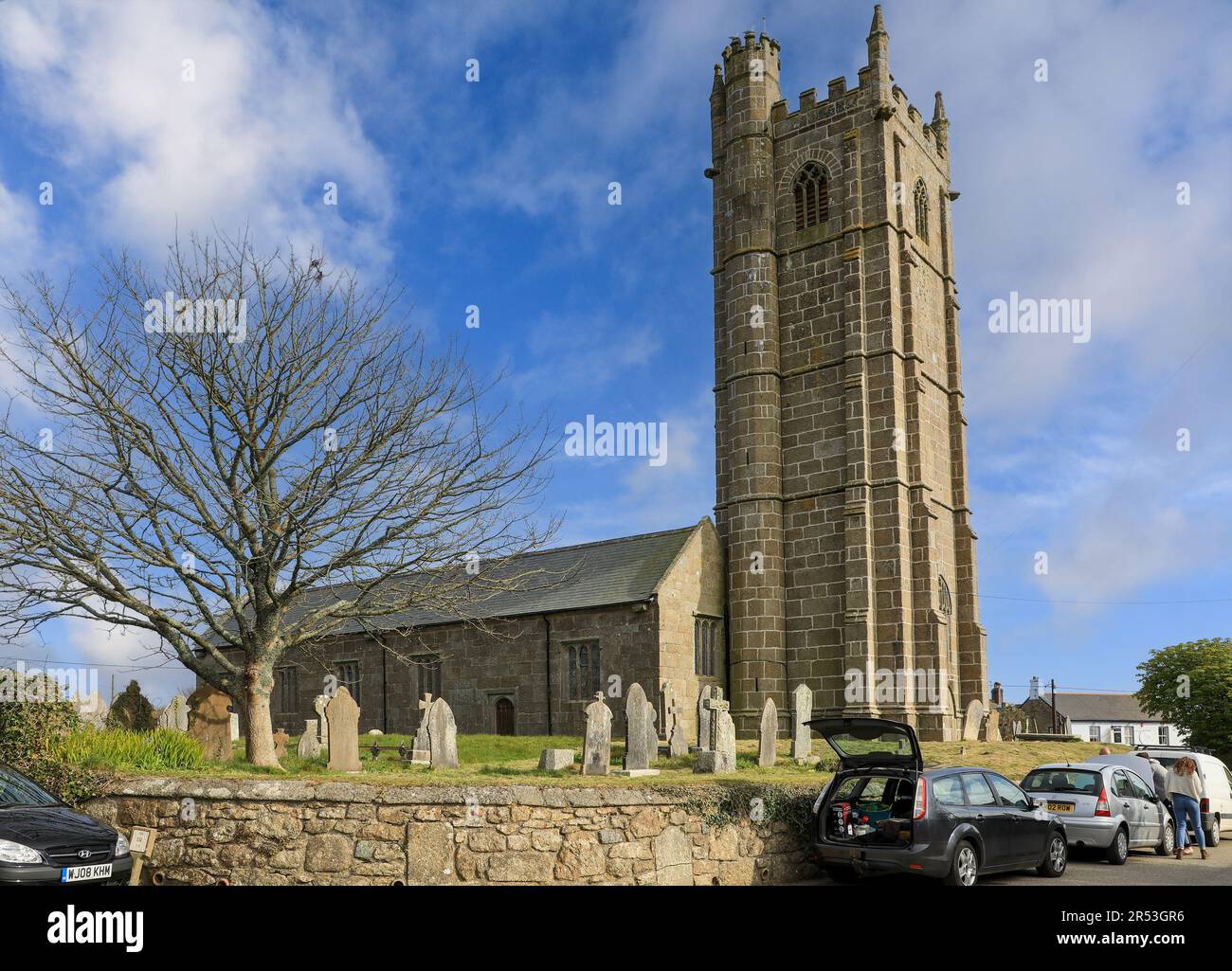 Grave YardGraveyard · 1661 yd
 Askeaton CastleHeritage attraction · 1.1 mi
 Milltown Castle (in ruins)Castle, tower house · 1.9 mi
 Lismakeery Castle (in ruins)Castle, tower house · 2.3 mi
 Holly IslandIslet · 2.9 mi
 Curraghchase Forest ParkForest · 3.2 mi
 European YewEuropean Yew · 3.4 mi
 Flat cemetery in CroaghFlat cemetery · 4.4 mi
 Herring RockNamed rock · 4.8 mi