What is recorded here
On a N-facing slope in rolling grassland. Indicated as a rectangular enclosure on the 1st (1839) ed. OS 6-inch map and on the 1900 revision as an unenclosed rectangular area, orientated NE-SW, with sides widening towards the SW. The enclosure is visible as a cropmark on aerial photographs (ASIAP (110) 18-19, 22 July 2000) and on satellite imagery (Digitalglobe, viewed 12 June 2019) as a rectangular area (dims. 26m NNW-SSE; 22m ESE-WNW) defined by a fosse. It is not visible at ground level.
From the National Monuments Service (Archaeological Survey of Ireland) record KK012-049
Places near here
Photo credits
- National Inventory of Architectural Heritage
- Mike Searle, Wikimedia Commons · CC BY-SA 2.0
- Mike Searle, Geograph · CC BY-SA 2.0
- A.-K. D., Wikimedia Commons · CC BY-SA 4.0
- kevin higgins, Geograph · CC BY-SA 2.0
- Sarah777 at en.wikipedia, Wikimedia Commons · Public domain
- A.-K. D., Wikimedia Commons · CC0
 Kildrinagh WoodForest · 527 yd
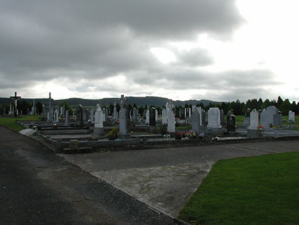 Saint Patrick's Catholic ChurchGraveyard/cemetery · 1632 yd
_-_geograph.org.uk_-_7541415.jpg/250px-Castles_of_Leinster,_Garryhiggin,_Kilkenny_(2)_-_geograph.org.uk_-_7541415.jpg "Photo: Mike Searle, Wikimedia Commons · CC BY-SA 2.0") CastleCastle, tower house · 1.3 mi
CastleCastle, tower house · 1.3 mi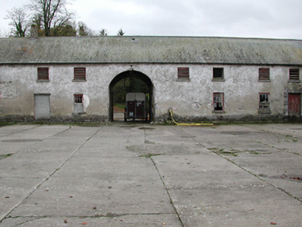 Woodsgift HouseFarmyard complex · 1.3 mi
 Tubbrid Castle (in ruins)Castle, tower house · 1.4 mi
 ToberpatrickHoly well · 1.4 mi
 TobermurryHoly well · 2.0 mi
 Wellington MonumentViewpoint · 2.6 miFour Acre WoodForest · 2.7 mi
 Clomantagh HillMountain / peak · 3.1 mi
 John HelyMemorial · 4.3 miDelaneyMemorial · 4.5 mi
More archaeology and monuments in County Kilkenny · All of County Kilkenny
What do you know about this place?Tap to add a comment or ask a question