
What is recorded here
On the NW-facing slope of slightly rising pasture with good views in all directions. The fields to S and W are in tillage and the field was ploughed at time visit. A field boundary running NW-SW intersects the enclosure at S and W, and is incorporated into the bank and fosse in the SW quadrant, as depicted on the 2nd (1903) ed. OS 6-inch map. The field boundary which ran ENE from the N quadrant of the monument has been removed. This poorly preserved, partially levelled, enclosure (overall diam. 43.3m NE-SW; 42.5m NW-SE) consists of a circular area (diam. 32.5m NW-SE) defined by a barely visible fosse (Wth 5m approx.; D 0.1m). There is a small quarry (dims. 20m x 6m; D 0.8m) in the interior of the NW quadrant.
Compiled by: Jean Farrelly
Date of upload: 26 August 2011
This remains an important historical record, but the official description says the monument is no longer visible or has been destroyed. The monument record does not grant public access. Check the route and ask the landowner before entering private land.
- What survives
- No visible remains or recorded as destroyed
Places near here
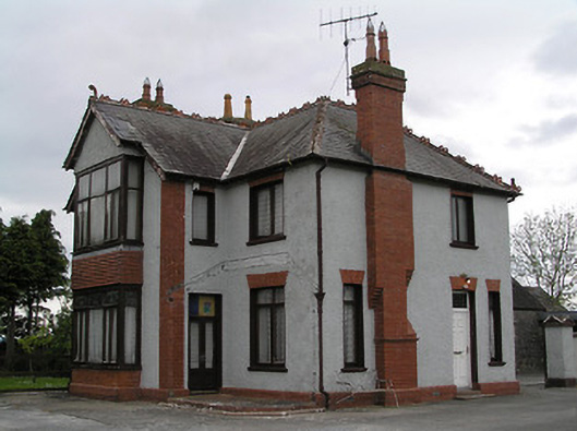 presbytery/parochial/curate's housepresbytery/parochial/curate's house · 1193 yd
 Settlement cluster in ClonamicklonSettlement cluster · 1225 yd
 Clonamicklon Castle (in ruins)Bawn · 1241 yd
 Buolick MoatCastle, ringwork and bailey · 1242 yd
 Settlement desertedSettlement deserted, medieval · 1609 yd
 Buolick Church (in ruins)Church · 1638 yd
 Kilcooly AbbeyHeritage attraction · 1.2 mi
 Rapefield WoodForest · 1.6 mi
 KilcooleyForest · 1.6 mi
 Bregaun HillMountain / peak · 1.7 mi
 Warhouse HillMountain / peak · 4.3 mi
 Derrynaflan TrailHeritage attraction · 5.5 mi
Other information
Photo: Credit not shown in the picture search · Rights wording not checked; contact us if this picture should be removed