What is recorded here
At the base of a N-facing slope with limited views, surrounded by pasture. A raised rectangular area (int. dims. 44.3m E-W x 28.5m N-S) enclosed by a substantial earthen bank (ext. H 1.9m; Wth 4m) and waterlogged fosse (Wth 3-3.5m). The bank is best preserved to the W and S; denuded to the N and partially levelled to the E. The fosse is covered in dense overgrowth, trees and scrub, but is clearly defined on all sides. A low external couterscarp bank (ext. H 0.5m; Wth 2.5m) is visible on the E side only. There are traces of a causewayed entrance (Wth 2m) visible to the SW. Barry (1977, 189) notes a possible entrance in the middle of the NW (N) side.
Compiled by: Jean Farrelly
Date of upload: 1 March 2022
The monument record does not grant public access. Check the route and ask the landowner before entering private land.
- What survives
- Recorded monument
Places near here
 IndicatedEnclosure · 772 yd
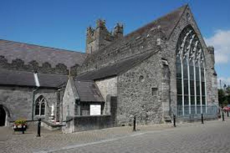 Enclosure in CourtnaboghillaEnclosure · 869 yd
 Neigham CastleCastle, tower house · 1152 yd
 Grangesylvia Church (in ruins)Church · 1427 yd
 CastleCastle, motte · 1.1 mi
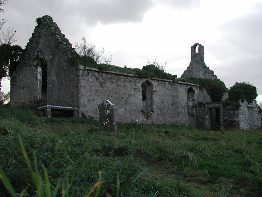 Powerstown Churchchurch/chapel · 1.1 mi
 Tinnakeenly BogForest · 2.9 mi
 The Pey FieldForest · 3.3 mi
 Tullaherin Church and Round TowerVisitor information · 4.1 mi
 Kilbline GraveyardArchaeological place · 5.2 mi
 Time CapsuleMemorial · 6.0 mi
 St. Mogarra’s WellSpring · 6.6 mi