What is recorded here
In forestry on SE side of Corrin Hill and on S side of disused road known as 'Priests Road'. Known locally as 'blessed well' and referred to by Windele (1898, 63) as holy well. No visible surface trace. According to local information destroyed c. 1975.
The above description is derived from the published 'Archaeological Inventory of County Cork. Volume 2: East and South Cork' (Dublin: Stationery Office, 1994). In certain instances the entries have been revised and updated in the light of recent research.
Date of upload/revision: 14 January 2009
Linked to an unidentified saint or local tradition, the well at Corrin is associated with general blessings and may have been used in pastoral or seasonal rituals. Local references to it as a "blessed well" suggest a long-standing folk tradition of visiting for protection or minor cures, though specific folklore or historical records remain sparse.
The monument record does not grant public access. Check the route and ask the landowner before entering private land.
- What survives
- Recorded monument
Places near here
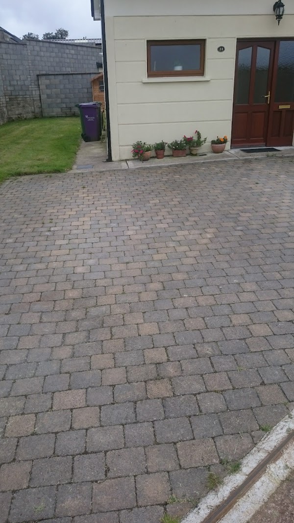 Enclosure in CorrinEnclosure · 282 yd
 Corrin CrossMonument · 482 yd
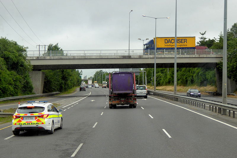 RoadRoad, unclassified togher · 565 yd
 Corrin WoodsWood · 786 yd
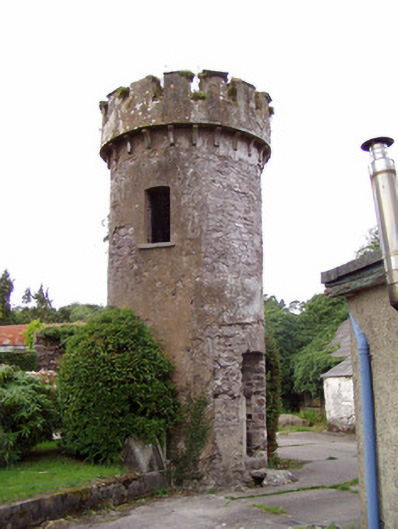 Ballynahina Housefolly · 1378 yd
 Ballybrack WoodForest · 1528 yd
 Pope's WellSpring · 1.7 mi
 Graveyard in FermoyGraveyard · 1.8 mi
 Tourist InformationVisitor information · 1.8 mi
 Kent BridgeMemorial · 1.8 mi
 Old Railway ViaductViewpoint · 2.4 mi
 Carrigabrick Castle (in Ruins)Castle, tower house · 2.4 mi