What is recorded here
Marked only on the 1914 and 1927 eds. of the OS 6-inch map, and situated in a little bay (diam. c. 40m) at the E end of the N shore of Lough Patrick (dims. c. 430m E-W; c. 50-150m N-S), which has a marl bottom. Circular overgrown area (diam. 19m; H 0.5-0.8m) with no evidence of artificial construction. Crannog (RO022-091----) is c. 250m to the W.
Compiled by: Michael Moore
Date of upload: 24 August 2010
From the National Monuments Service (Archaeological Survey of Ireland) record RO022-092
Places near here
Photo credits
- National Inventory of Architectural Heritage
- Eric Jones, Geograph · Creative Commons Attribution-ShareAlike 2.0
- Willow, Wikimedia Commons · CC BY 2.5
- undefined, Wikimedia Commons · CC BY-SA 4.0
- Davsca at English Wikipedia, Wikimedia Commons · CC BY 3.0
- Miguel Angel Masegosa Martínez, Wikimedia Commons · CC BY 2.0
- Christopher Hilton, Wikimedia Commons · CC BY-SA 2.0
- Laurel Lodged, Wikimedia Commons · CC0
- Mike Searle, Wikimedia Commons · CC BY-SA 2.0
- Kieran Campbell, Geograph · CC BY-SA 2.0
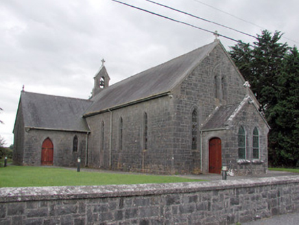 Saint Catherine's Catholic ChurchChurch/chapel · 1.1 mi
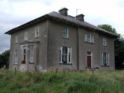 Rossmore HouseHouse · 1.3 mi
 Grave YardGraveyard · 1.9 mi
 European ash3.0 mi
 ToberagullaSpring · 3.0 mi
 Saint Patrick's Catholic ChurchChurch/chapel · 3.4 mi
 RathcroghanMound · 3.9 mi
 Sweet Chestnut4.6 mi
 Strokestown House GardensHeritage attraction · 4.8 mi
 Strokestown ParkHeritage attraction · 5.1 mi
.jpg/250px-Castles_of_Connacht-_Ballintober,_Roscommon_(geograph_1954203).jpg "Photo: Mike Searle, Wikimedia Commons · CC BY-SA 2.0") CastleCastle, Anglo-Norman masonry castle · 9.8 mi
CastleCastle, Anglo-Norman masonry castle · 9.8 mi Rathcline CastleBawn · 13 mi
More archaeology and monuments in County Roscommon · All of County Roscommon
What do you know about this place?Tap to add a comment or ask a question