
Places near here
Photo credits
- National Inventory of Architectural Heritage
- David Purchase, Geograph · Creative Commons Attribution-ShareAlike 2.0
- Mike Searle, Geograph · CC BY-SA 2.0
- Paul Cowan, Wikimedia Commons · CC BY-SA 2.0
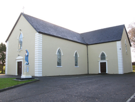 Saint Joseph's Catholic ChurchChurch/chapel · 1198 yd
Explorer Tom Saint Joseph's Catholic Church in Killeen has a hidden tunnel to the pub, or so the legend goes. It’s got that pointed Gothic style that looks like it’s trying to fly. Count the crosses if you dare to get lost in thought.
 Tighe Achadh MórHouse · 1321 yd
 Grave YardGraveyard · 1379 yd
Explorer Tom Graveyard in Aghamore would post a photo of its mossy headstones with the caption 'Living my best quiet life, #ancient'. It’s got that moody, atmospheric vibe going on that makes you feel instantly profound. Have a wander and a wonder.
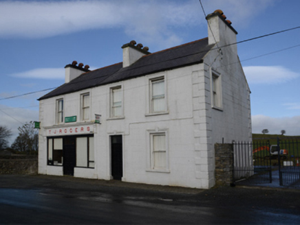 T.j. RogersHouse · 1384 yd
 CastleCastle, unclassified · 2.5 mi
 IndicatedHouse, fortified house · 2.5 mi
Explorer Tom House in Island is currently being judged by rabbits who think its gunloops are just fancy holes for them to hide in. They’re not wrong, actually. Get there early and have it all to yourself.
East Mayo Brigade MonumentMemorial · 3.2 miKnock MuseumMuseum · 4.9 mi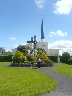 Knock ShrineHeritage attraction · 4.9 miI'll Send You The FareMemorial · 7.9 miThorn CaveCave · 8.6 mi
More archaeology and monuments in County Mayo · All of County Mayo

What do you know about this place?Tap to add a comment or ask a question