What is recorded here
Located c. 65m from the N shore of Lough Sallagh – dirty or silted lough - an oval lake (max. dims c. 1.2km NNW-SSE; c. 500m ENE-WSW). This is an overgrown oval island of stones and gravel (dims 12m E-W; 9m N-S; H 0.3m) with a few bushes. Several timber stakes lie near the surface of the water at SE, with one upright at E.
The above description is derived from 'The Archaeological Inventory of County Leitrim' compiled by Michael J. Moore (Dublin: Stationery Office, 2003). In certain instances the entries have been revised and updated in the light of recent research.
Compiled by: Michael Moore
Date of upload: 23 September 2008
Amended: 7 January 2020
The monument record does not grant public access. Check the route and ask the landowner before entering private land.
- What survives
- Recorded monument
Places near here
 Sweathouse in AnnaghoneySweathouse · 1176 yd
 Mass-rock in Drumgownagh (carrigallen By.)Mass-rock · 1.0 mi
 Native Woodland Trust: Farnaght ReserveWood · 1.4 mi
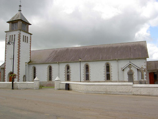 Saint Patrick's Catholic Churchchurch/chapel · 1.9 mi
 Battle of BallinamuckMajor battlefield · 1.9 mi
 water pumpwater pump · 1.9 mi
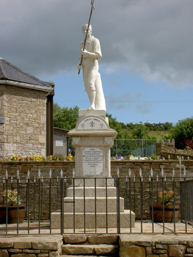 1798 Monumentmonument · 1.9 mi
 OratoryCastle, tower house · 2.7 mi
 Derrinch IslandIslet · 3.4 mi
 North Midland Transport CollectionMuseum · 3.5 mi
 Duck IslandIslet · 3.5 mi
 Holm OakHolm Oak · 3.6 mi