What is recorded here
Indicated is a D-shaped enclosure beside a rath in County Longford, Ireland. It has a narrow tree-lined bank and a sharp southern ditch, markers still clear after centuries. The shape may have marked a boundary or formed a smaller dwelling beside the larger rath.
On a gentle N-facing slope in pasture. Depicted as a D-shaped enclosure/annexe attached to the SE of a rath (LF022-028001-) on the 1837 ed. of the OS 6-inch map. A slightly raised D-shaped area (diam. c. 25m) enclosed by a well-preserved, narrow, tree-lined bank (top Wth 2m; base Wth 3m; int. H 0.2m; ext. H 0.5m) which has been reduced to a scarp (H 0.5m) in places. At the base of the scarp at S there is an external fosse (Wth 1.5m; D 0.2-0.4m) which has a sharp V-shaped profile. The well-preserved profile of the bank and the fosse is in stark contrast to the rath and suggests that this enclosure/annexe was constructed at a later date, possibly as a field boundary adjoining the rath. The original entrance is not recognisable.
Compiled by: Caimin O'Brien
Date of upload: 24 January 2012
The monument record does not grant public access. Check the route and ask the landowner before entering private land.
- What survives
- Recorded monument
Places near here
 IndicatedFairy fort / earthen ringfort · 42 yd
 PlatformPlatform, peatland · 1543 yd
 RoadRoad, class 2 togher · 1613 yd
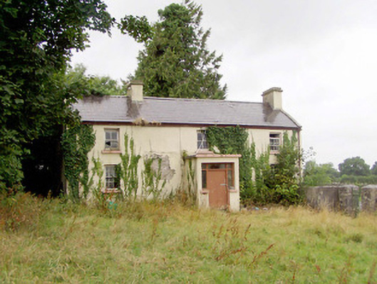 J. Hopkinshouse · 1677 yd
 Caltragh CastleCastle, unclassified · 1.5 mi
 Elfeet CastleCastle, Anglo-Norman masonry castle · 2.3 mi
 Culnagore WoodForest · 2.3 mi
 Bush IslandIslet · 2.5 mi
 Elfeet BayBay · 2.7 mi
 Leveran IslandIslet · 2.9 mi
 Corlea Bog Walk Blue LoopWalking route · 2.9 mi
 Corlea Trackway Interpretative CentreHeritage attraction · 3.0 mi