
What is recorded here
A quite narrow band (exposed Wth 0.6m, T 0.12m) of brushwood was exposed in a WNW drain face. Its regular size, uniform level and tight arrangement suggested that the feature was a hurdle, though no sails were visible in section. More than twenty pieces of brushwood (diam. 0.01-0.02m) were present, three pieces of which were slightly larger (diam. 0.035m). The brushwood extended into the drain face and was orientated NW-SE. A possible vertical peg (broken) was located at a lower level, 0.04m to the NNE. There was no visible evidence of toolmarks. Possibly the remains of a platform. (Dunne 1999, 19, 99DNSW0006A)
Compiled by: Mary Tunney based on data supplied by Jane Whitaker, Archaeological Development Services.
Date of upload: 26 August 2011
The monument record does not grant public access. Check the route and ask the landowner before entering private land.
- What survives
- Recorded monument
Places near here
 RoadRoad, class 2 togher · 189 yd
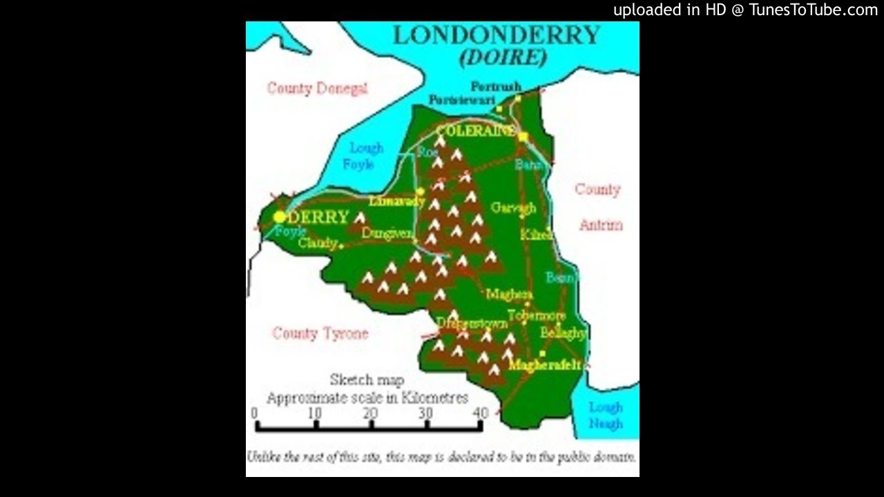 StructureStructure, peatland · 1252 yd
 IndicatedFairy fort / earthen ringfort · 1607 yd
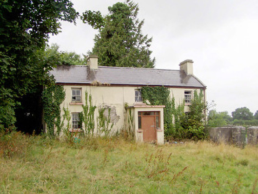 J. Hopkinshouse · 1.1 mi
 Caltragh CastleCastle, unclassified · 1.4 mi
 Elfeet CastleCastle, Anglo-Norman masonry castle · 2.6 mi
 Culnagore WoodForest · 2.8 mi
 Bush IslandIslet · 3.0 mi
 Elfeet BayBay · 3.1 mi
 Leveran IslandIslet · 3.4 mi
 Pollagh BayBay · 4.5 mi
 White Sand WoodWood · 5.0 mi
Other information
Photo: Credit not shown in the picture search · Rights wording not checked; contact us if this picture should be removed