
What is recorded here
On the gentle N-facing slope of a low rise. Depicted as a circular, tree-lined enclosure with the designation 'Fort' on the 1837 ed. of the OS 6-inch map. A report in 1976 (SMR file) recorded a raised circular area (diam. c. 40m) enclosed by a bank of earth and stone. There was no trace of a fosse and the original entrance was not recognisable. It is very densely overgrown with vegetation rendering satisfactory inspection impossible.
Compiled by: Patrick F. O'Donovan
Date of upload: 10 January 2012
The monument record does not grant public access. Check the route and ask the landowner before entering private land.
- What survives
- Recorded monument
Places near here
 Cist in DerryglashCist · 872 yd
 Enclosure in Caltragh BegEnclosure · 1004 yd
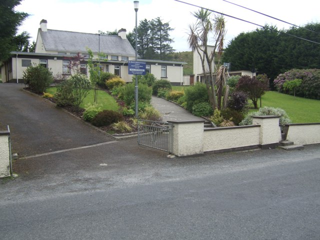 RoadRoad, class 3 togher · 1621 yd
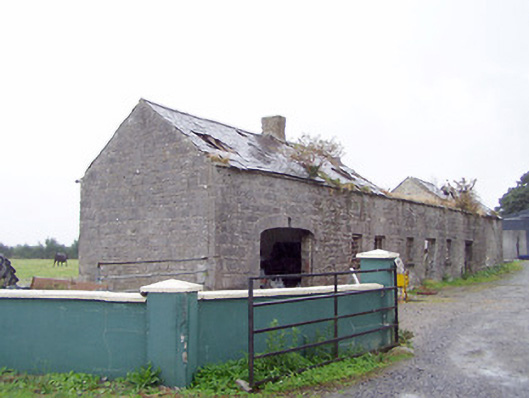 Cordara Houseoutbuilding · 1.2 mi
 Caltragh CastleCastle, unclassified · 1.3 mi
 Elfeet CastleCastle, Anglo-Norman masonry castle · 2.7 mi
 Culnagore WoodForest · 3.0 mi
 Elfeet BayBay · 3.2 mi
 Bush IslandIslet · 3.3 mi
 Priest's IslandIslet · 3.3 mi
 White Sand WoodWood · 4.1 mi
 Wild birdsVisitor information · 4.6 mi
Other information
Photo: Credit not shown in the picture search · Rights wording not checked; contact us if this picture should be removed