
What is recorded here
Indicated is a cut fairy fort in County Longford, its forty-five-metre circle broken by a road and shadowed by a D-shaped annexe. The earth bank has worn to a shallow scarp, yet the SW dip still hints at an entrance and local story claims a hidden passage beneath the junction. That is a quiet warning: even when a place is reduced to a line in pasture, it may keep a chamber closed behind its ordinary skin.
On a gentle N-facing slope in pasture. Depicted as a roughly circular enclosure designated 'Fort' on the 1837 ed. of the OS 6-inch map. The monument was cut at NW and SE by a public road and a roughly D-shaped enclosure/annexe (LF022-028002-) extended off the SE quadrant. It consists of a slightly raised circular area (diam. c. 45m NE-SW) defined by a low bank (top Wth 2m; base Wth 3.5m; int. H 0.2m; ext. H 0.65m) which has been mainly reduced to a scarp (H 0.4m) with slight traces of a possible infilled external fosse. A depression (Wth 2m) in the scarp at SW may mark the original entrance. Traces of the NE quadrant (12m NE-SW), which is overgrown with trees rendering inspection difficult, survive in the field on the opposite side of the roadway. There is a tradition of a possible Man-made underground passage (LF022-028003-) at the intersection between the rath and the enclosure/annexe.
Compiled by: Caimin O'Brien
Date of upload: 30 November 2011
The monument record does not grant public access. Check the route and ask the landowner before entering private land.
- What survives
- Recorded monument
Places near here
 PlatformPlatform, peatland · 1509 yd
 RoadRoad, class 2 togher · 1576 yd
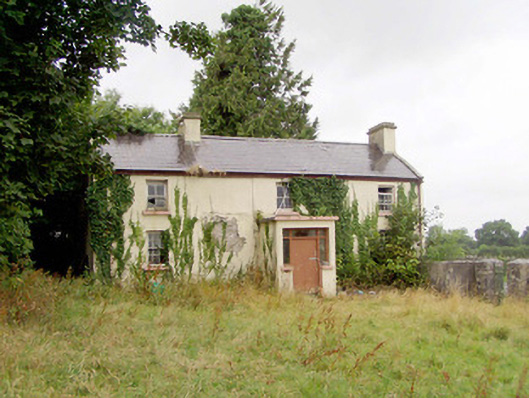 J. Hopkinshouse · 1644 yd
 StructureStructure, peatland · 1.0 mi
 Caltragh CastleCastle, unclassified · 1.5 mi
 Elfeet CastleCastle, Anglo-Norman masonry castle · 2.3 mi
 Culnagore WoodForest · 2.3 mi
 Bush IslandIslet · 2.5 mi
 Elfeet BayBay · 2.7 mi
 Leveran IslandIslet · 2.9 mi
 Corlea Bog Walk Blue LoopWalking route · 2.9 mi
 Corlea Trackway Interpretative CentreHeritage attraction · 3.0 mi
Other information
Photo: Credit not shown in the picture search · Rights wording not checked; contact us if this picture should be removed