What is recorded here
On the W-facing slope of a low drumlin. Circular overgrown area (diam. c. 22m) defined by an earthen bank (Wth 3-4m; int. H 0.1-0.6m; ext. H 0.6-0.8m) which is rebuilt in places as a field bank and which is surrounded by a modern field drain. There is no identifiable entrance.
From the National Monuments Service (Archaeological Survey of Ireland) record RO011-085
The monument record does not grant public access. Check the route and ask the landowner before entering private land.
- What survives
- Recorded monument
Places near here
Photo credits
- National Inventory of Architectural Heritage
Embanked enclosureFairy fort / earthen ringfort · 739 ydIndicatedFairy fort / earthen ringfort · 1334 yd bridge1.0 miSite of Dangan CastleCastle, unclassified · 1.1 miJamestown BridgeBridge · 1.2 miWildlife AreaNature reserve · 1.7 miPatrick Gill Memorial Plaque (ira)Monument · 1.8 miRobert Strawbridge MemorialMemorial · 1.9 miMullinashee WoodForest · 3.0 miMoon RiverHeritage attraction · 3.2 miCastlecarraCastle, unclassified · 3.4 miInishmoylinIslet · 3.5 mi
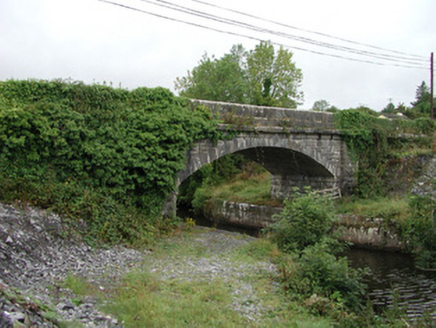 bridge1.0 miSite of Dangan CastleCastle, unclassified · 1.1 mi
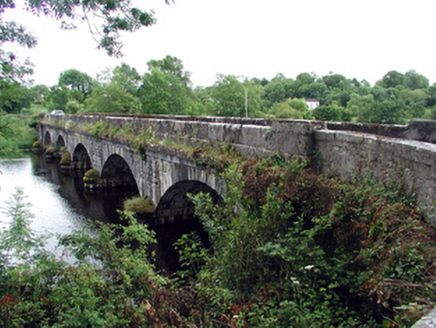 Jamestown BridgeBridge · 1.2 miWildlife AreaNature reserve · 1.7 miPatrick Gill Memorial Plaque (ira)Monument · 1.8 miRobert Strawbridge MemorialMemorial · 1.9 miMullinashee WoodForest · 3.0 miMoon RiverHeritage attraction · 3.2 miCastlecarraCastle, unclassified · 3.4 miInishmoylinIslet · 3.5 mi
More archaeology and monuments in County Roscommon · All of County Roscommon
What do you know about this place?