What is recorded here
Located in pasture, encompassing a natural rise. A laneway, flanked by stone walls, skirts the perimeter at NW–NE. There is a modern house and garden immediately to SW.
Indicated on the 1838 OS 6-inch map as a circular embanked enclosure (diam. 25-30m), and on the 1919 edition as a roughly D-shaped enclosure with a N−S field boundary forming the straight side at E.
A grass-covered subcircular raised area (c. 35m overall diameter) with a domed profile, which appears to be the remains of a partly levelled rath. The centre (diam. c. 10m) of the rise is level but the ground falls from there in a broad slope levelling out again gradually towards the perimeter. The most pronounced or domed part of the overall rise has a diameter of c. 25m.
It has been boxed in by later field walls with the laneway bordering the NW–NE side, a field wall on a NW–SE axis clipping the E side, and the remains of another field wall/scarp (H 1m) skirting the perimeter S–NW.
Cutting across the perimeter at E there is a an irregular-shaped pit (5m E–W; 5m N–S; D 0.6-0.8m) from which a trench (L 7.5m; Wth 0.8-2m; D 0.5m) extends to W through the rising slope of the enclosure; this appears to be a quarry pit.
Compiled by: Jane O’Shaughnessy
Date of upload: 30 November 2021
The monument record does not grant public access. Check the route and ask the landowner before entering private land.
- What survives
- Recorded monument
Places near here
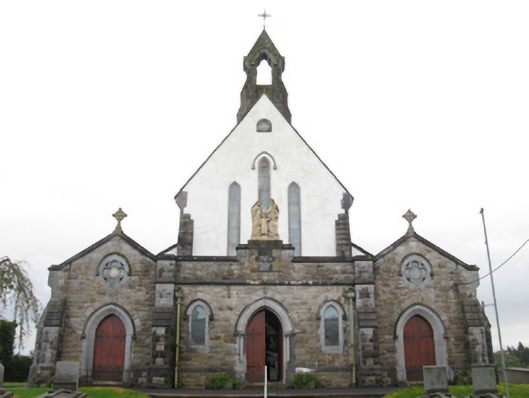 Catholic Church of the Holy Familychurch/chapel · 505 yd
 Saint Louis's Conventconvent/nunnery · 580 yd
 Kiltimagh MuseumMuseum · 713 yd
 I'll Send You The FareMemorial · 745 yd
 IndicatedFairy fort / earthen ringfort · 865 yd
 CrossCross · 1.1 mi
 CashlankeeghCastle, unclassified · 1.9 mi
 Carrowbeg WoodWood · 1.9 mi
 Thorn CaveCave · 3.7 mi
 Knock ShrineHeritage attraction · 5.0 mi
 Ballybooley CastleCastle · 5.0 mi
 East Mayo Brigade MonumentMemorial · 6.1 mi