What is recorded here
Marked as a small D-shaped feature (dims. c. 20m NW-SE; c. 15m NE-SW), perhaps a pond, on the 1837 ed. of the OS 6-inch map, and situated on a gentle S-facing slope. It is not visible at ground level in pasture.
From the National Monuments Service (Archaeological Survey of Ireland) record RO036-045
Places near here
Photo credits
- National Inventory of Architectural Heritage
- Colin Park, Geograph · CC BY-SA 2.0
- Kieran Campbell, Geograph · CC BY-SA 2.0
- Irishrover1980, Wikimedia Commons · CC BY-SA 4.0
- Algirdas at Lithuanian Wikipedia, Wikimedia Commons · Public domain
 CrossCross, Wayside cross · 1.3 miIndicatedEnclosure, large enclosure · 1.4 mi
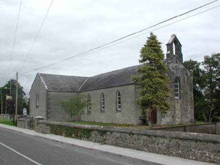 Kilteevan Community CentreChurch/chapel · 2.1 miCastleCastle, unclassified · 2.2 miFerrinchIslet · 2.9 mi
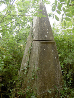 monument3.8 miBushy IslandIslet · 3.9 mi
 Slieve BawnMountain / peak · 3.9 miBig IslandForest · 4.2 mi
 Rathcline CastleBawn · 4.3 mi
 Roscommon CastleCastle · 4.3 mi
 Pedunculate Oak4.7 mi
More archaeology and monuments in County Roscommon · All of County Roscommon
What do you know about this place?Tap to add a comment or ask a question