What is recorded here
Access to this possible ecclesiastical enclosure was not gained. It was indicated on the 1846 OS 6-inch map as an oval area (c. 85m E-W; c. 55m N-S) defined by a broken line and with a N-S field boundary crossing its E half, a townland boundary and a small stream crossing its W half and a rectangular burial ground (KE101-026002-) in its NE quadrant. Only the burial ground is indicated on the 1895-7 OS 6-inch map. The cropmark of the levelled bank of the enclosure is visible E-W in an aerial photograph (GSIAP, V 49-50) taken in 1973. The burial ground, covered with overgrowth, is also visible in the aerial photograph. Volume I: South-West Kerry' (Dublin: Stationery Office, 2009).
Access to this possible ecclesiastical enclosure was not gained. It was indicated on the 1846 OS 6-inch map as an oval area (c. 85m E-W; c. 55m N-S) defined by a broken line and with a N-S field boundary crossing its E half, a townland boundary and a small stream crossing its W half and a rectangular burial ground (KE101-026002-) in its NE quadrant. Only the burial ground is indicated on the 1895-7 OS 6-inch map.…
From the National Monuments Service (Archaeological Survey of Ireland) record KE101-026001
The monument record does not grant public access. Check the route and ask the landowner before entering private land.
- What survives
- Recorded monument
Places near here
Photo credits
- Espresso Addict, Geograph · CC BY-SA 2.0
- Espresso Addict, Wikimedia Commons · CC BY-SA 2.0
- Nigel Cox, Geograph · CC BY-SA 2.0
- Dieglop, Wikimedia Commons · CC BY-SA 4.0
- Colin Park, Wikimedia Commons · CC BY-SA 2.0
- John M, Geograph · CC BY-SA 2.0
- Ulrich Hartmann, Geograph · CC BY-SA 2.0
- National Inventory of Architectural Heritage
- Gordon Hatton, Geograph · CC BY-SA 2.0
- Angela Herlihy, Geograph · CC BY-SA 2.0
 Uragh WoodForest · 1084 yd
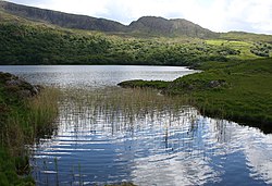 Uragh Wood Nature ReserveNature reserve · 1272 yd
 Gleninchaquin WaterfallWaterfall · 1555 yd
 Uragh Stone CircleArchaeological place · 1751 yd
 Uragh Stone CircleArchaeological place · 1751 yd
 CahaMountain / peak · 2.8 mi
 Baurearagh MountainMountain / peak · 2.8 mi
 Dinish IslandIslet · 2.8 mi
 Dawros National SchoolSchool · 3.4 mi
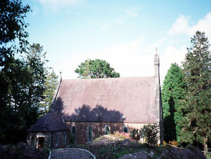 Dawros Catholic ChurchChurch/chapel · 3.4 mi
 Ormond's IslandIslet · 3.5 mi
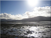 Coss StrandBeach / strand · 3.9 mi
More archaeology and monuments in County Kerry · All of County Kerry
What do you know about this place?