
Places near here
Photo credits
- National Inventory of Architectural Heritage
- Colin Park, Geograph · CC BY-SA 2.0
- Kmcnamee, Wikimedia Commons · CC BY-SA 4.0
- Mike Searle, Wikimedia Commons · CC BY-SA 2.0
- Pam Brophy, Wikimedia Commons · CC BY-SA 2.0
- Gareth James, Wikimedia Commons · CC BY-SA 2.0
- Graham Horn, Geograph · CC BY-SA 2.0
- Willow, Wikimedia Commons · CC BY 2.5
- Vadim Manuylov, Wikimedia Commons · CC BY-SA 3.0
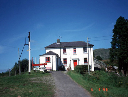 railway station1.4 mi
Explorer Tom Railway station in Derreenacullig is claimed by a local who says he invented the concept of waiting. Opened in 1893, it…
 bridge1.4 mi
Explorer Tom Bridge in Derreenacullig would date a tractor if it had a phone number and a dating profile. It spent decades carrying…
 The Paps WestMountain / peak · 3.2 mi
Explorer Tom The Paps West has been in a furious fairy dispute over parking rights with the clouds for the last three centuries. The…
 CrohaneMountain / peak · 3.7 mi
Explorer Tom Crohane in County Kerry would write on its dating profile that it’s looking for someone who doesn’t mind a bit of grit…
 Glenflesk GAA pitchGAA ground · 3.9 miRathmore GAA pitchGAA ground · 6.9 mi
 Battle of CallannBattle · 8.2 mi
Explorer Tom Battle of Callan in Kerry suspects the postman is spying on its grave marker. Donal fell here, so it’s got a lot of…
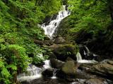 Torc WaterfallWaterfall · 8.9 mi
Explorer Tom If you hear a wild boar at Torc, check whether it is me puffing up the path. The name means boar, and the local tales…
 Muckross AbbeyVisitor attraction · 9.0 mi
Explorer Tom Muckross Abbey in Kerry gave up meat for Lent but probably snuck some bacon in its windows just to spite the monks who…
 Muckross Lake WalkWalking route · 9.1 mi
Explorer Tom Muckross Lake Walk in County Kerry would teach history by making everyone stand in a puddle until they understood the…
 European ash9.1 mi
Explorer Tom European ash in Cork is terrified of dying young, so it's overthinking everything. If it won the lotto, it would buy a…
 Monterey Cypress9.2 mi
Explorer Tom Monterey Cypress in County Kerry has a massive grudge against the narrow road that leads to it. It claims the traffic…
More archaeology and monuments in County Kerry · All of County Kerry

What do you know about this place?Tap to add a comment or ask a question