
What is recorded here
On E bank of Cregg stream, just S of Blackwater River; c. 3km W of Fermoy. Fragmentary remains of L-shaped mill (20.4m E-W; 7m N-S): some ground-floor walls survive, much overgrown, with brick-dressed opes. Wheel-pit (Wth 2.6m; L 7.4m) alongside E end of S wall; probably housed breastshot waterwheel. Mill extended to S by 6.8m, at W end of S wall, making overall plan of mill L-shaped; second wheel-pit (Wth 1.7m; D 0.5m) alongside S wall of extension. Remains of 2-storey rectangular structure (int.: 3.35m N-S; 2.46m E-W) short distance to NE, built atop and in line with steep break in slope; ground-floor chamber covered by barrel-vaulted roof (H at apex 2.45m); only E wall survives at 1st-floor level. Remains of extension to N (similar in width; L 3.65m), ramp built up against N side giving access to 1st floor. Slightly hump-backed 'Millquarter Bridge' immediately to N: 3 semicircular arches with cut-stone voussoirs and pointed breakwaters. Mill is L-shaped building, named 'Flour Mill', on 1842 OS 6-inch map.
The above description is derived from the published 'Archaeological Inventory of County Cork. Volume 4: North Cork' (Dublin: Stationery Office, 2000). In certain instances the entries have been revised and updated in the light of recent research.
Date of upload/revision: 14 January 2009
The monument record does not grant public access. Check the route and ask the landowner before entering private land.
- What survives
- Recorded monument
Places near here
 Furnace in Creggolympry SouthFurnace · 256 yd
 Childrens Burial Ground (Disused) (193*Burial ground · 287 yd
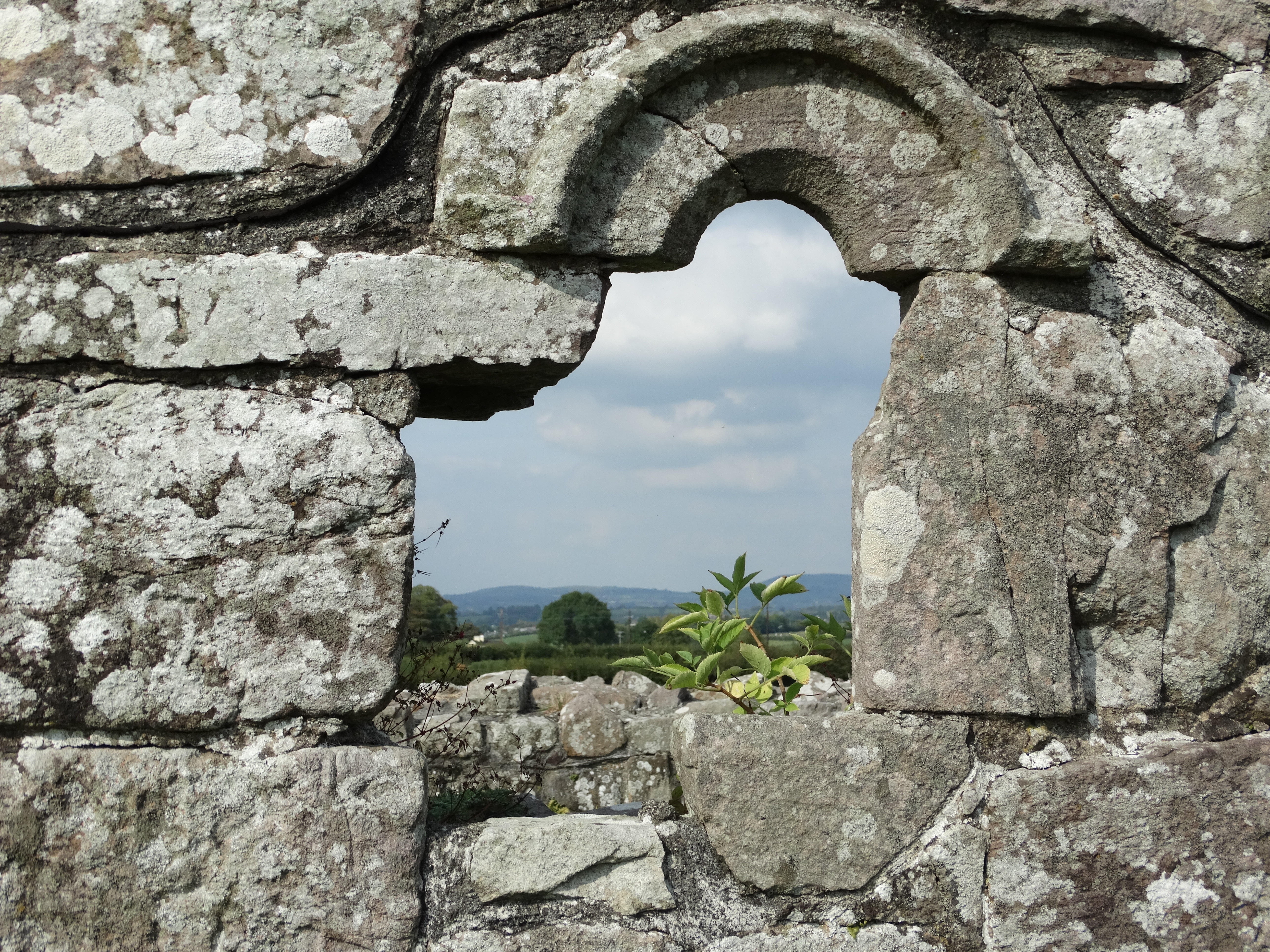 Church in Creggolympry NorthChurch · 455 yd
 Cregg Olympryhouse · 727 yd
 Cregg Castle (in Ruins)Castle, tower house · 877 yd
 Castle Hyde (in Ruins)Castle, tower house · 1113 yd
 Coolmucy WoodWood · 1.4 mi
 Cappagh XViewpoint · 2.2 mi
 Corrin WoodsWood · 2.3 mi
 Liam BurkeMemorial · 3.6 mi
 Blackwater (Avondhu) WayWalking route · 3.7 mi
 Graveyard in BoherashGraveyard · 3.9 mi
Other information
Photo: Credit not shown in the picture search · Rights wording not checked; contact us if this picture should be removed