What is recorded here
Marked as a large circular enclosure (diam. c. 90m) on the 1837 and 1928 eds of the OS 6-inch map, with an entrance at NE on the latter, and situated on a rise in a fairly level landscape. It was described in 1956 as a D-shaped area (diam. c. 100m N-S) with a straight side (L c. 67m) at W defined by an earthen bank (at N: Wth c. 3m; int. H c. 0.9m; ext. H c. 1.8m) with no visible fosse, and with an entrance (Wth c. 9m) at E (SMR file). It is not now visible at ground level in pasture.
Compiled by: Michael Moore
Date of upload: 3 January 2013
The monument record does not grant public access. Check the route and ask the landowner before entering private land.
- What survives
- Recorded monument
Places near here
 IndicatedFairy fort / earthen ringfort · 357 yd
 Stone CrossCross, Wayside cross · 747 yd
 European Crab AppleEuropean Crab Apple · 828 yd
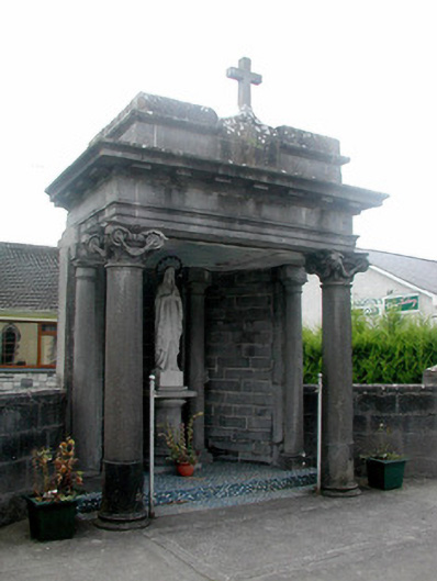 shrine/oratory/grottoshrine/oratory/grotto · 1.3 mi
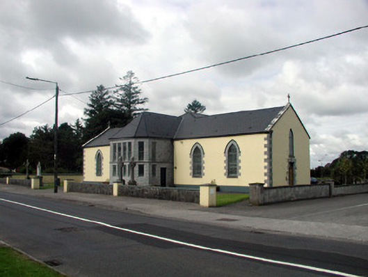 Saint Patrick's Catholic Churchchurch/chapel · 1.3 mi
 CastleHouse, fortified house · 1.5 mi
 TogherfinnForest · 3.4 mi
 Sally IslandIslet · 4.0 mi
 Castle KellyCastle, tower house · 4.2 mi
 Inchnaveague IslandIslet · 4.5 mi
 Mount MaryMountain / peak · 6.6 mi
 Site of Killomaine Grave YardArchaeological place · 11 mi