What is recorded here
On the E side of a flat-topped ridge in a N-S valley. Very good views in all directions. A small faint circular feature (diam. c. 12m) visible only on the 1st ed. OS 6-inch map. On inspection no visible trace was found at ground level. The field is flat and reclaimed and an extensive range of modern farm buildings have been built at or slightly E of the mapped location.
From the National Monuments Service (Archaeological Survey of Ireland) record KK015-045
Places near here
Photo credits
- National Inventory of Architectural Heritage
- Zapp111, Wikimedia Commons · CC BY-SA 4.0
- A.-K. D., Wikimedia Commons · CC0
- A.-K. D., Wikimedia Commons · CC BY-SA 4.0
- kevin higgins, Wikimedia Commons · CC BY-SA 2.0
- Christian Pirkl, Wikimedia Commons · CC BY-SA 3.0 at
- liam murphy, Wikimedia Commons · CC BY-SA 2.0
- Didier Descouens, Wikimedia Commons · CC BY-SA 4.0
- Rosser1954, Wikimedia Commons · CC BY-SA 4.0
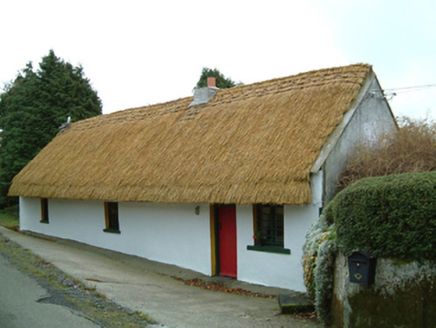 MaherHouse · 1421 yd
 Saint Scuithin's Catholic ChurchChurch/chapel · 1.3 mi
 ToberpatrickHoly well · 1.8 mi
 St. Scoheens WellHoly well · 1.9 mi
 Freneystown CastleCastle, tower house · 2.1 mi
 Sycamore2.5 mi
 St. Mogarra’s WellSpring · 2.8 mi
 Clara CastleCastle, tower house · 3.1 mi
 Hawthorn3.8 mi
 Edward BurkeMemorial · 5.6 mi
 Gallows HillMountain / peak · 5.9 mi
Explorer Tom Gallows Hill has a spooky name! In County Carlow, maybe it was just a high spot for announcements, not executions, I hope.
 Saint Molagga's WellSpring · 5.9 mi
More archaeology and monuments in County Kilkenny · All of County Kilkenny
What do you know about this place?Tap to add a comment or ask a question