What is recorded here
Indicated on 1842 OS 6-inch map as circular enclosure (diam. c. 35m). Area inaccessible due to overgrowth. No local knowledge of enclosure.
The above description is derived from the published 'Archaeological Inventory of County Cork. Volume 2: East and South Cork' (Dublin: Stationery Office, 1994). In certain instances the entries have been revised and updated in the light of recent research.
Date of upload/revision: 14 January 2009
The monument record does not grant public access. Check the route and ask the landowner before entering private land.
- What survives
- Recorded monument
Places near here
 Grave YardGraveyard · 73 yd
 Coole Abbey (in Ruins)Church · 78 yd
 Coole WellVisitor information · 90 yd
 Holy WellHoly well · 98 yd
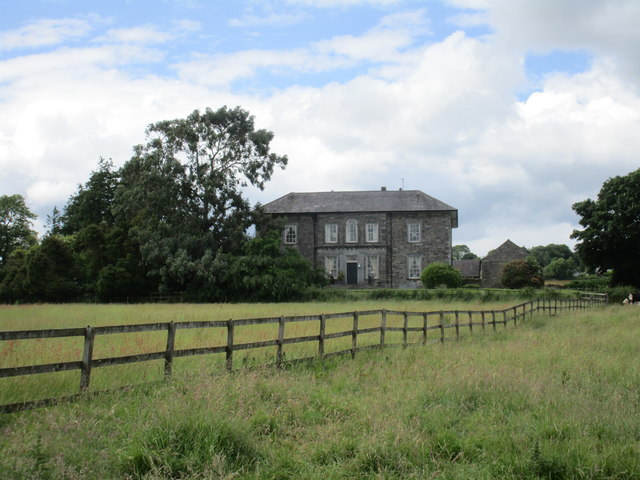 Coole Abbeyhouse · 236 yd
 Pope's WellSpring · 1.5 mi
 Life Space ParkPicnic place · 1.5 mi
 Castle (in Ruins)Castle, tower house · 1.9 mi
 Barrymore Castle or Castle LyonsHouse, fortified house · 2.0 mi
 Strawhall WoodForest · 2.3 mi
 Ballybrack WoodForest · 2.9 mi
 Kent BridgeMemorial · 3.7 mi