
What is recorded here
From the National Monuments Service (Archaeological Survey of Ireland) record CO063-036
Places near here
Photo credits
- National Inventory of Architectural Heritage
- Maker not stated on source page, global-geography.org
- Maker not stated on source page, www.dreamstime.com
- Maker not stated on source page, prntbl.concejomunicipaldechinu.gov.co
- Hourihan (pitch contractor and image source; individual photographer not named), www.hourihan.ie
- Donal.hunt, Wikimedia Commons · CC BY-SA 4.0
- The Echo; photographer not named in the article, www.echolive.ie
- Kmcnamee, Wikimedia Commons · CC BY-SA 4.0
 Templemichael BridgeBridge · 1235 yd
Explorer Tom Templemichael Bridge in Coole East looks long and low from some angles but is actually remarkably tall over a deep…
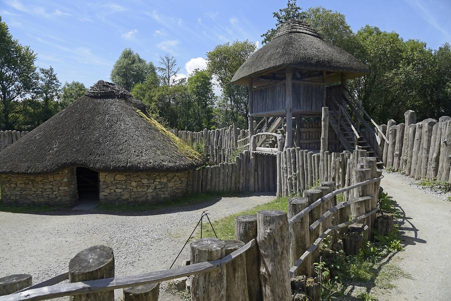 Fairy fort / earthen ringfort in Ballynoe (cork By.)Fairy fort / earthen ringfort · 1659 yd
Explorer Tom Fairy fort / earthen ringfort in Ballynoe was once a 20-metre diameter enclosure but now has no visible trace. It’s…
 CastleCastle, unclassified · 1689 yd
Explorer Tom Castle in Dunbulloge has vanished so completely that even Windele couldn't find it in 1840. It was an O'Keeffe place…
 Church (Site of)Church · 1.1 mi
Explorer Tom Church in Templemichael thinks tourists from Dublin are too loud for its ancient peace. It had a partition with an arch…
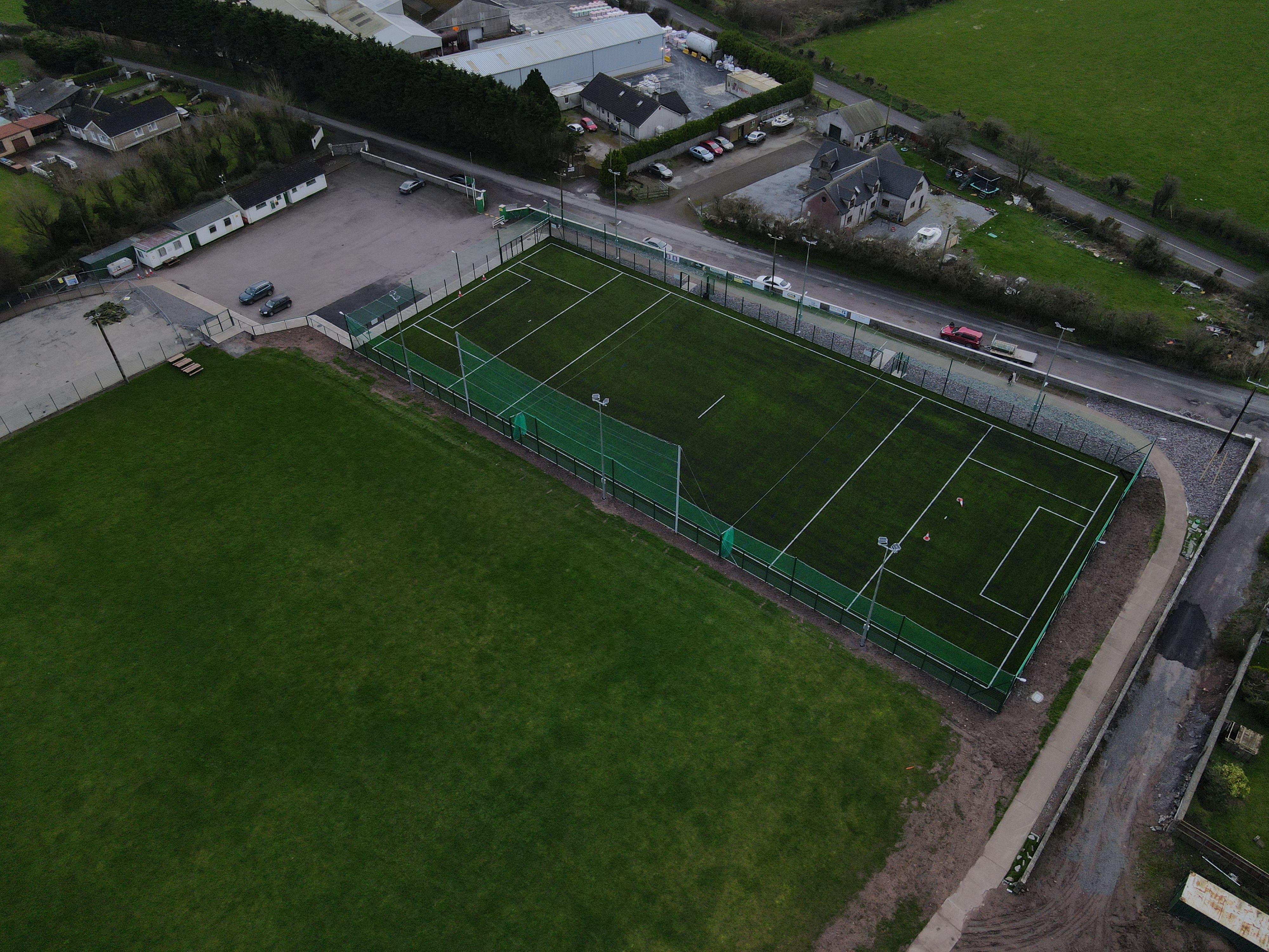 White's Cross GAA pitchGAA ground · 1.1 mi
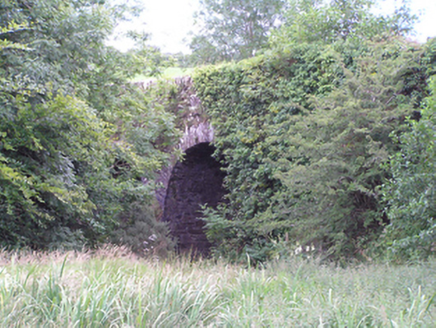 Ardnabricka BridgeBridge · 1.5 mi
Explorer Tom Ardnabricka Bridge in Ballynabortagh has high arches that show off some serious stone masonry skills. The rough rubble…
 Carrignavar BridgeBridge · 1.8 mi
Explorer Tom Carrignavar Bridge is a single-arch rubble limestone bridge built around 1820 with a carved string course and cut stone…
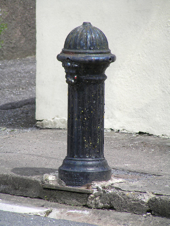 water pump1.8 mi
Explorer Tom Water pump in Carrignavar smells like old copper coins and wet dog, according to my very reliable nose which has never…
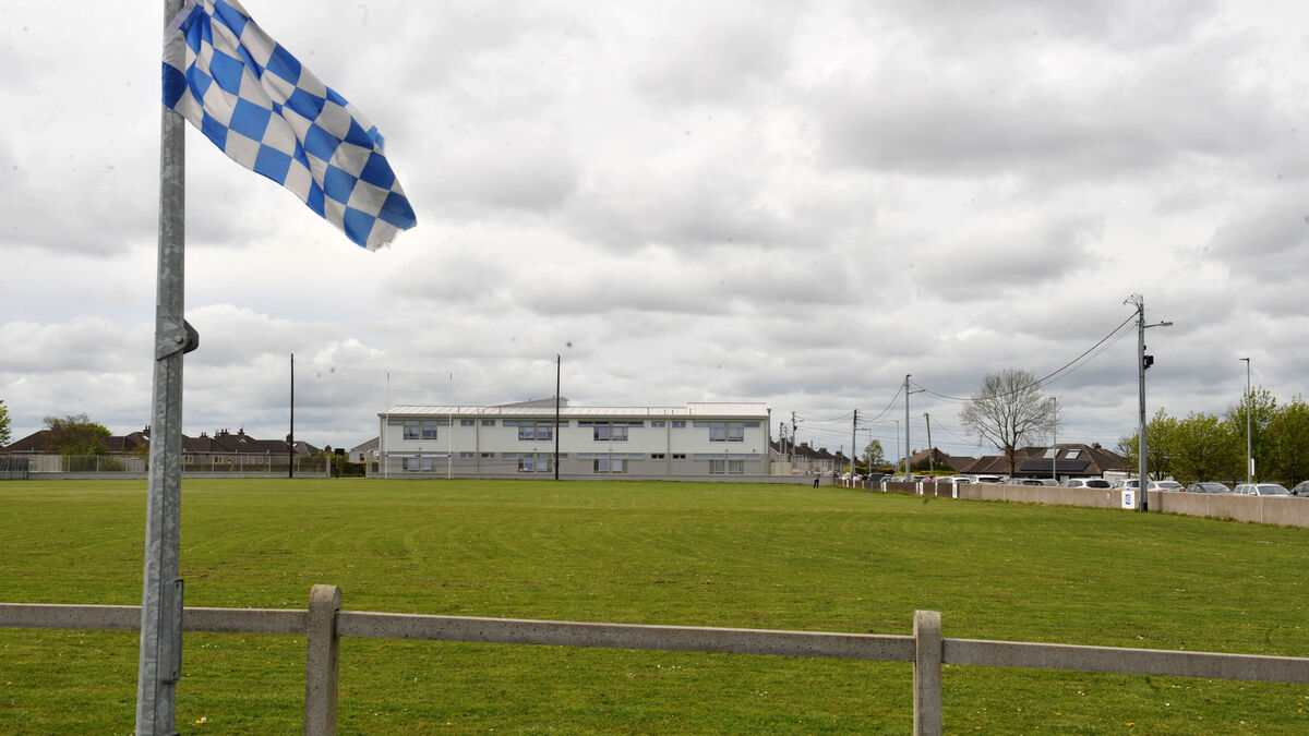 Tank Field, Brian DillonsGAA ground · 1.8 miFairy fort / earthen ringfort in Ballinvarrig (cork By.)Fairy fort / earthen ringfort · 1.9 mi
Explorer Tom Fairy fort in Ballinvarrig was levelled and cut by field fences. The 1842 map shows it as a circular enclosure, but now…
 Carraig na bhFear GAA pitchGAA ground · 1.9 mi
 Saint Catherine's CemeteryCemetery · 2.2 mi
Explorer Tom Saint Catherine's Cemetery is waiting for you to judge its tombstone, which probably reads 'Died of Boredom' in big…
More archaeology and monuments in County Cork · All of County Cork

What do you know about this place?Tap to add a comment or ask a question