What is recorded here
In level pasture, c. 20m SW of dried-up stream bed. Ó Danachair (1955, 212) describes well as circular area (diam. 12 feet) enclosed by dry-stone wall (H 1.5 feet). This now almost completely masked by dense overgrowth but appears to be slightly raised area (H c. 0.15m; diam. c. 2.9m) defined by scarped edge with stones scattered along its upper edge (this only visible on NW side). According to Ó Danachair (ibid.) known as St Anne's Well.
Compiled by: Denis Power
Date of upload: 26 August 2011
The monument record does not grant public access. Check the route and ask the landowner before entering private land.
- What survives
- Recorded monument
Places near here
 KnocknagowerNamed rock · 998 yd
 Curragh Bridgebridge · 1096 yd
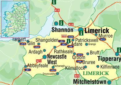 Settlement cluster in Kilcurly (kenry By.)Settlement cluster · 1267 yd
 Knockannaholla Grave YardBurial ground · 1415 yd
 RIC barracksRIC barracks · 1551 yd
 European BeechEuropean Beech · 1.6 mi
 Adare Tourist OfficeVisitor information · 1.6 mi
 Desmond CastleHeritage attraction · 1.7 mi
 Desmonds Castle (in ruins)Castle, Anglo-Norman masonry castle · 1.7 mi
 Adare Desmond CastleMedieval castle · 1.7 mi
 CastleCastle, tower house · 1.8 mi
 American SweetgumAmerican Sweetgum · 2.0 mi