What is recorded here
Indicated is a fairy fort or earthen ringfort in Coolaphubble, County Roscommon, Ireland. The site appears as a circular feature about forty metres across on the 1837 and 1915 Ordnance Survey maps and occupies the bottom of a gentle south-south-east facing slope. Faint traces of a grass-covered circle measuring forty-two metres remain, bordered by a shallow bank five metres wide and ten centimetres high. Another rath lies one hundred and eighty metres to the west-north-west.
Marked as a circular feature (diam. c. 40m) on the 1837 and 1915 eds of the OS 6-inch map, and situated at the bottom of a gentle SSE-facing slope. There are slight traces of a circular grass-covered area (diam. 42m NE-SW) defined by slight traces of a bank (Wth c. 5m; H 0.1m). Rath (RO042-034----) is c. 180m to the WNW.
Compiled by: Michael Moore
Date of upload: 24 August 2010
The monument record does not grant public access. Check the route and ask the landowner before entering private land.
- What survives
- Recorded monument
Places near here
 Embanked enclosureFairy fort / earthen ringfort · 974 yd
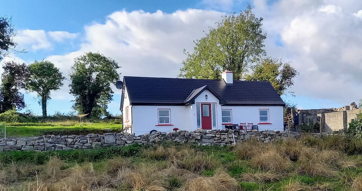 Not idicatedFairy fort / earthen ringfort · 1016 yd
 Hangman's HillMountain / peak · 1280 yd
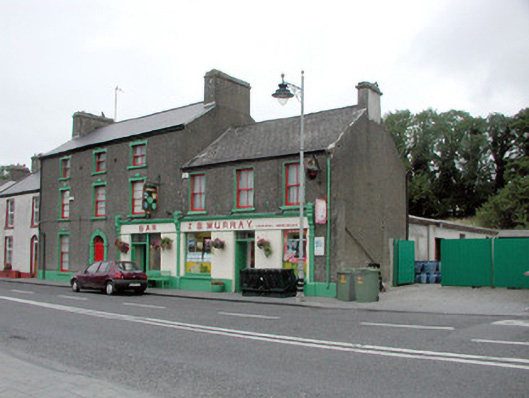 J.S. Murrayhouse · 1318 yd
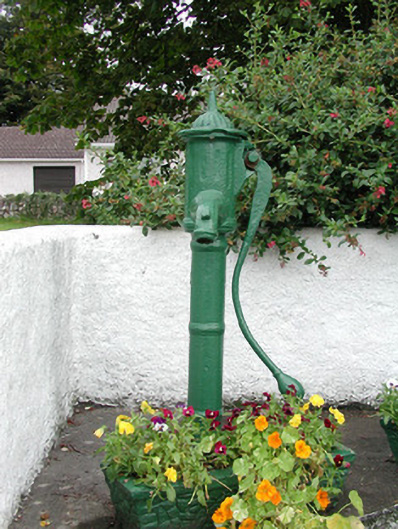 water pumpwater pump · 1488 yd
 CastleCastle, unclassified · 1.0 mi
 Ballymurray ForestForest · 1.7 mi
 Galey CastleCastle, tower house · 2.0 mi
 Galey BayBay · 2.2 mi
 Lower WoodForest · 2.2 mi
 Cruit BayBay · 2.6 mi
 Sedgy IslandIslet · 3.3 mi