What is recorded here
In pasture, located on a slight rise in undulating, hilly terrain.
Shown on the 1838 OS 6-inch map and on the 25-inch plan as a circular enclosure (diam. c. 25m). Indicated on the 1917 OS 6-inch map as a circular area (diam. c. 20m) with a possible fosse on the W arc, truncated at N by field boundaries and at E by a laneway.
The remains consist of a mound (overall diam. c. 20-25m; H c. 2m), probably encompassing a natural rise, with a flattish top (diam. c. 10m) and broadly sloping sides. A shallow depression (Wth 2m; D 0.3m) curving around the base of the scarp at SW appears to be an external fosse –it cannot be traced elsewhere. The mound has been modified by incorporation in a later system of field fences, and remnants of these field fences overlie the scarp at NW and NNE–SE, with traces of stone facing at the base of the scarp at W.
A stand of conifers grows on the mound, making examination difficult.
Compiled by: Jane O’Shaughnessy
Date of upload: 17 February 2022
The monument record does not grant public access. Check the route and ask the landowner before entering private land.
- What survives
- Recorded monument
Places near here
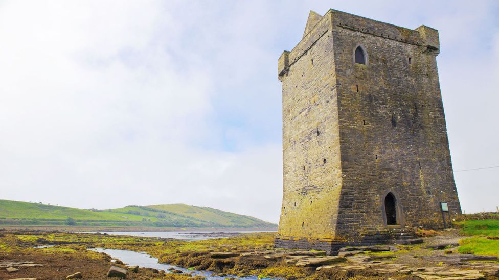 IndicatedFairy fort / earthen ringfort · 846 yd
 CastleCastle, unclassified · 1715 yd
 Promontory fortPromontory fort, inland · 1737 yd
 Mannin Housefarm house · 1.0 mi
 farm housefarm house · 1.6 mi
 Knock MuseumMuseum · 2.8 mi
 Knock ShrineHeritage attraction · 2.8 mi
 Rath Castle in ruinsCastle, tower house · 3.0 mi
 East Mayo Brigade MonumentMemorial · 4.1 mi
 I'll Send You The FareMemorial · 6.8 mi
 Oak WoodForest · 9.3 mi
 Geoffrey's WoodForest · 10.0 mi