What is recorded here
Situated on a knoll, which is on a NW-SE ridge with higher ground to the SE. It was first identified by Kytmannow, and could be the remains of a trigonometric station indicated on the 1907 edition of the OS 6-inch map. This is a circular grass-covered stony area (diam. 2m; H 0.2m) with a small spread of stones (dims 1.1m x 0.8m) just 1.5m to the SE that might have derived from it.
Compiled by: Michael Moore
Date of upload: 4 July, 2017
The monument record does not grant public access. Check the route and ask the landowner before entering private land.
- What survives
- Recorded monument
Places near here
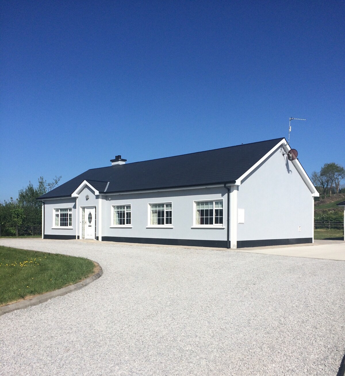 Enclosure in Conray (drumahaire By.)Enclosure · 355 yd
 Mass-rock in BallynabollMass-rock · 775 yd
 Castle CarCastle · 1.9 mi
 Teampul ShetricPenal Mass station · 2.2 mi
 BenboMountain / peak · 2.4 mi
 Keelogyboy Mountain NE TopMountain / peak · 2.4 mi
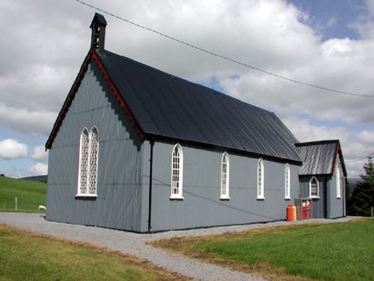 Lurganboy Church (Killasnet)church/chapel · 2.9 mi
 Longhill WoodForest · 3.2 mi
 CastleCastle, tower house · 3.3 mi
 Parke's CastleHeritage attraction · 3.3 mi
 Ashisland WoodForest · 3.4 mi
 Green IslandIslet · 3.7 mi