What is recorded here
In Lough Conn. A causeway-like feature, depicted as a rough line of boulders, is indicated on the 1838 OS 6-inch map, extending into the lake from the E shoreline and ending 230m to SW at Coarse Island. It is not shown on later map editions. The location of the causeway has been subsumed into a natural bridge of dry land exposed as a result of a drop in the lake water levels in recent years. A modern road/causeway constructed of stone and gravel now extends across this spine of dry land to the island. No evidence of an ancient causeway is visible.
Compiled by: Jane O’Shaughnessy
Date of upload: 4 February 2020
The monument record does not grant public access. Check the route and ask the landowner before entering private land.
- What survives
- Recorded monument
Places near here
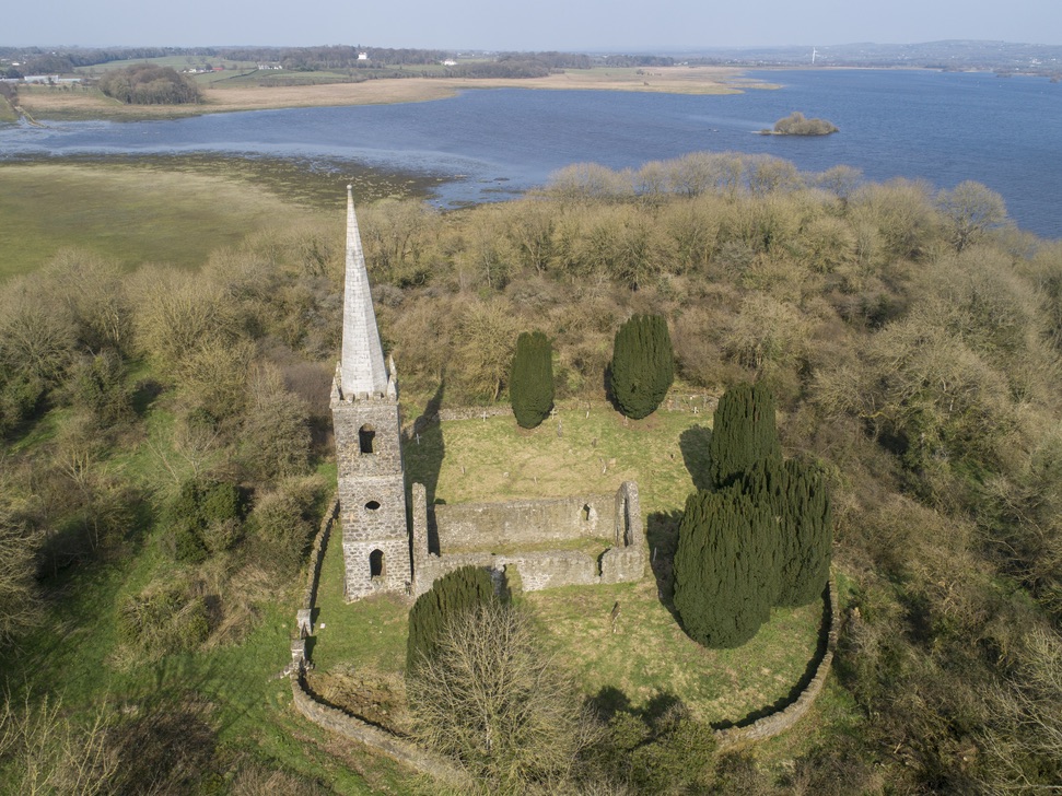 Church in Inishlee IslandChurch · 978 yd
 IndicatedFairy fort / earthen ringfort · 1058 yd
 Saint Teresa's Catholic Churchchurch/chapel · 1753 yd
 RathnashuppyFairy fort / earthen ringfort · 1.1 mi
 Castle Kelly (in Ruins)Castle, motte · 1.1 mi
 Roe IslandIslet · 1.7 mi
 Cloghans CastleCastle, tower house · 1.9 mi
 Castle IslandIslet · 2.0 mi
 Battle of Ballinabattle · 4.1 mi
 Titanic Memorial ParkMemorial · 4.5 miHumbert MonumentMemorial · 4.5 mi
 Belleek WoodsWood · 5.7 mi