What is recorded here
Located in Coaghen Lough which is depicted as a sub-triangular lough (dims c. 200m N-S; c. 200m E-W) on the 1834 edition of the OS 6-inch map, but the lake is now reduced to an L-shaped feature with the crannog in a circular N section (diam. c. 100m). This is an overgrown clay island (dims 17m E-W; 15m N-S; H 0.4m over the water) with deep water within 5m of its edge. Erosion of the surface reveals a matrix of small stones and clay with charcoal and animals bones. Four small piles and a horizontal plank were also observed.
The above description is derived from the published 'Archaeological Inventory of County Monaghan' (Dublin: Stationery Office, 1986). In certain instances the entries have been revised and updated in the light of recent research.
Revised by: Michael Moore
Date of revision: 29 January 2018
The monument record does not grant public access. Check the route and ask the landowner before entering private land.
- What survives
- Recorded monument
Places near here
 Giants GraveCourt tomb · 432 yd
 CarnCairn, unclassified · 541 yd
 Church in Templetate (dartree By., Clones Par.)Church · 1270 yd
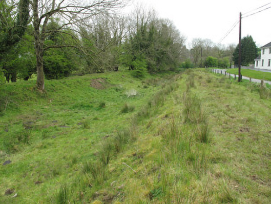 canal (section of)canal (section of) · 1424 yd
 Lisarrilly HillMountain / peak · 1.0 mi
 Roosky Castle (Site of)Castle, ringwork · 1.1 mi
 Jaundice WellSpring · 1.8 mi
 KillycoonaghWood · 3.1 mi
 Common LimeCommon Lime · 3.2 mi
 Saint John's WellSpring · 3.3 mi
 Rough HillMountain / peak · 3.5 mi
 Dagda's CauldronHeritage attraction · 4.6 mi