
What is recorded here
Indicated was a fairy fort in County Kerry, now erased beneath amalgamated fields. It resisted human mapping, hiding in plain sight while ordinary ringforts surrendered their shapes to ploughs and roads. The land kept its own boundary, refusing to show its hand. What was hidden there may still breathe underneath the grass, waiting for someone clever enough to stop looking.
The site is marked on the second edition of the OS map as a subcircular enclosure intersected by a field boundary. The adjoining fields have now been amalgamated and there are no visible remains of the site.
The above description is derived from A. O'Sullivan and J. Sheehan (compilers), 'The Iveragh peninsula: an archaeological survey of South Kerry'. Cork University Press (1996), no. 792. In certain instances the entries have been revised and updated in the light of recent research.
Date of upload: 29 July 2013
This remains an important historical record, but the official description says the monument is no longer visible or has been destroyed. The monument record does not grant public access. Check the route and ask the landowner before entering private land.
- What survives
- No visible remains or recorded as destroyed
Places near here
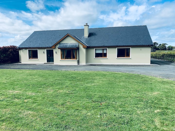 LissafreeFairy fort / earthen ringfort · 789 yd
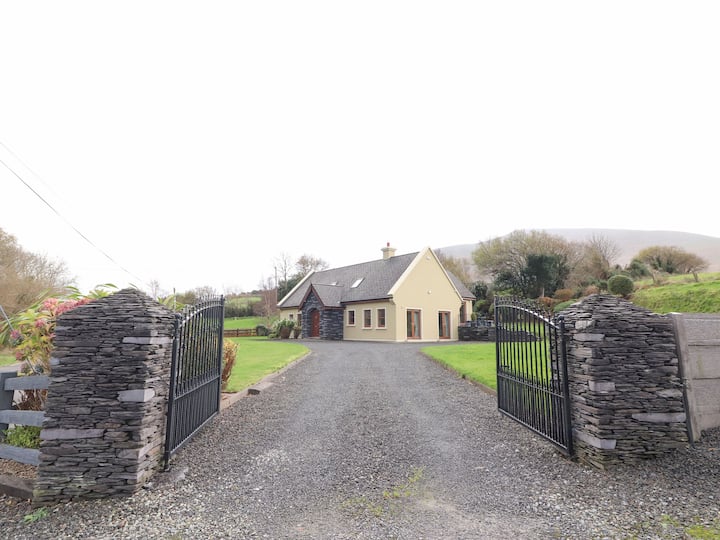 Man-made underground passage in Cullenagh UpperMan-made underground passage · 1126 yd
 Castle Core (in Ruins)Castle, tower house · 1253 yd
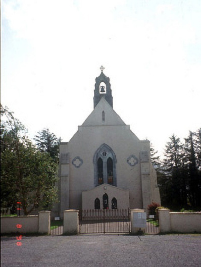 Saint Mary's Catholic Churchchurch/chapel · 1425 yd
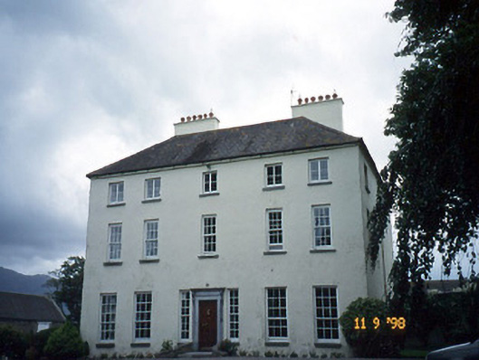 Churchtown Housecountry house · 1549 yd
 Dunloe Ogham StonesHeritage attraction · 1.5 mi
 Japanese pagoda treeJapanese pagoda tree · 1.8 mi
 European YewEuropean Yew · 1.8 mi
 Castle (in Ruins)Castle, tower house · 1.8 mi
 Tomies Mountain North TopMountain / peak · 3.0 mi
 Cnoc an BhrácaMountain / peak · 3.2 mi
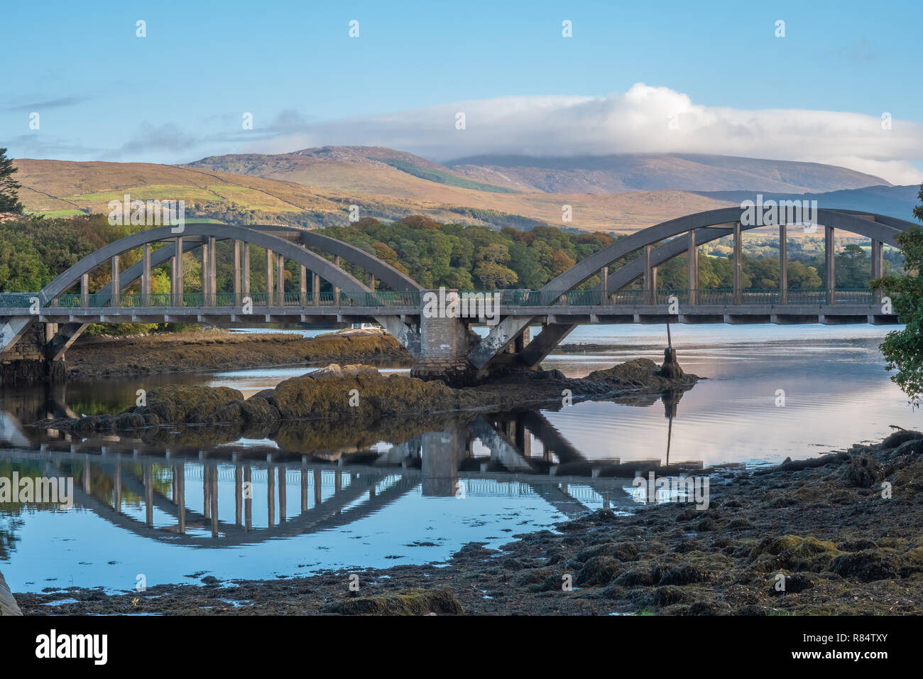 Very small BridgeHeritage attraction · 3.6 mi
Other information
Photo: Credit not shown in the picture search · Rights wording not checked; contact us if this picture should be removed