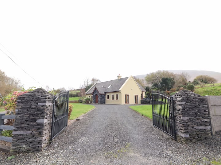
What is recorded here
In 1986 a Man-made underground passage, not marked on the OS maps, was discovered in the course of agricultural work on the crest of a low rise overlooking the low-lying land N of Macgillycuddy's Reeks. The accessible section consists of a small chamber and an adjoining creepway. Access to it is gained through an opening in the chamber caused by the removal of one of its roofing slabs. The chamber is roughly pear-shaped in plan, measuring 2.1m E-W x 1.6m N-S and 1.4m high. Its walls are constructed of horizontally laid slabs and some rubble, and are corbelled in their upper courses. Two broad lintels roof the chamber, and a recess, .45m x .35m x .25m deep, is located above the entrance to the creepway. The latter runs to NE for just 1.35m, due to collapse. Its sides are constructed of upright slabs and it is roofed by flat lintels; it averages .5m in width and .35m in height.
The above description is derived from A. O'Sullivan and J. Sheehan (compilers), 'The Iveragh peninsula: an archaeological survey of South Kerry'. Cork University Press (1996), no. 869. In certain instances the entries have been revised and updated in the light of recent research.
Date of upload: 29 July 2013
The monument record does not grant public access. Check the route and ask the landowner before entering private land.
- What survives
- Recorded monument
Places near here
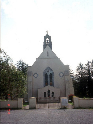 Saint Mary's Catholic Churchchurch/chapel · 395 yd
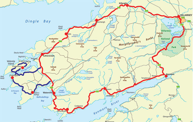 IndicatedFairy fort / earthen ringfort · 853 yd
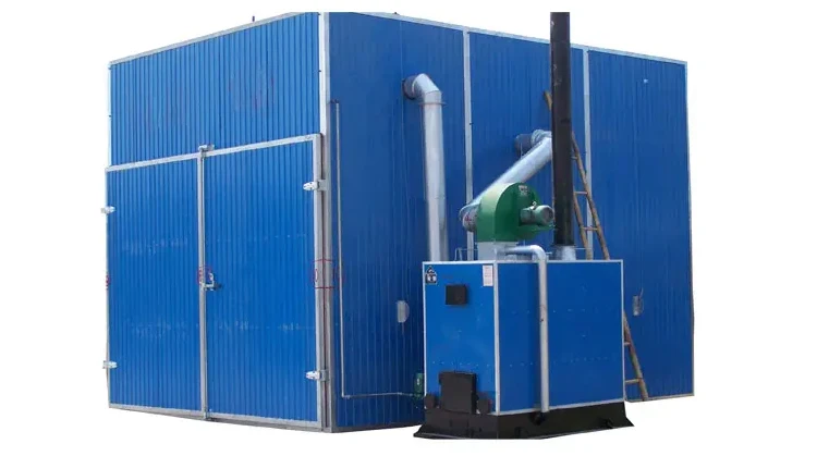 KilnKiln, corn-drying · 1402 yd
 LissaphucaFairy fort / earthen ringfort · 1594 yd
 Dunloe Ogham StonesHeritage attraction · 1610 yd
 Castle Core (in Ruins)Castle, tower house · 1641 yd
 Japanese pagoda treeJapanese pagoda tree · 1.2 mi
 European YewEuropean Yew · 1.2 mi
 Castle (in Ruins)Castle, tower house · 1.2 mi
 Tomies Mountain North TopMountain / peak · 2.8 mi
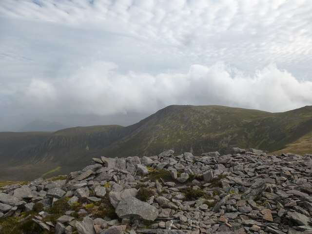 Tomies MountainMountain / peak · 3.3 mi
 O'Sullivan's CascadeWaterfall · 3.5 mi
Other information
Photo: Credit not shown in the picture search · Rights wording not checked; contact us if this picture should be removed