What is recorded here
Imagine the quarry in Cloverfield supplying stone for Cloverfield House, with one worker choosing good pieces and another wondering who will haul them across the pasture. By the time the load moves, everyone has an opinion on how the house ought to be built.
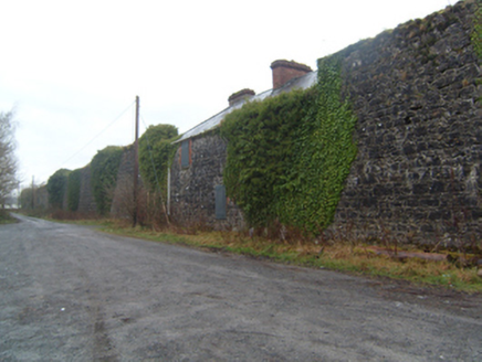
In pastureland. A hachured area marked on the 1932 edition of the OS 6-inch map proved on inspection in 1984 to be a disused quarry pit. According to local information, stone from the quarry was used to build Cloverfield House to the NNE. As the pit is of post-AD 1700 date it does not come within the remit of the Archaeological Survey of Ireland.
From the National Monuments Service (Archaeological Survey of Ireland) record GA059-020
Places near here
Photo credits
- Christian Pirkl, Wikimedia Commons · CC BY-SA 3.0 at
- National Inventory of Architectural Heritage
- Didier Descouens, Wikimedia Commons · CC BY-SA 4.0
- liam murphy, Geograph · CC BY-SA 2.0
- Willthacheerleader18, Wikimedia Commons · CC0
- Andreas F. Borchert, Wikimedia Commons · CC BY-SA 4.0
- AmandaMcCrann, Wikimedia Commons · CC BY-SA 4.0
 IndicatedHoly well · 1377 yd
 Sycamore1.4 mi
 Mount Bellew MuseumWalled garden · 1.9 mi
 William's GroveFarm house · 1.9 miMenlough iraMemorial · 2.2 mi
 Hawthorn3.0 mi
 Moylough CastleCastle · 3.1 miBallinlass Eviction MemorialMemorial · 4.6 mi
 Clonbrock CastleCastle, tower house · 7.3 mi
 Knockmoy AbbeyHeritage attraction · 8.1 mi
 Kilconnell AbbeyHeritage attraction · 10 mi
 Kellys MonumentMonumental structure · 11 mi
More historic places in County Galway · All of County Galway
What do you know about this place?Tap to add a comment or ask a question