What is recorded here
On a slight rise in a low-lying landscape. Circular grass and rush-covered area (diam. 41.5m N-S) defined by an earthen bank with some scrub (Wth 2.9-3.5m; int. H 0.2-0.4m; ext. H 0.5-1.2m) separated by a wet fosse (Wth of top 7-7.3m; Wth of base 2-4.1m; D 0.65m at S to 1.4m at W) from an outer bank (at W: Wth 5.5m; int. H 1.4m; ext. H 0.45m) which only survives SW-NNW. There is an entrance (Wth 3m) at N, and the outer edge of the fosse is truncated NNW-NE, by an E-W field boundary.
Compiled by: Michael Moore
Date of upload: 24 August 2010
The monument record does not grant public access. Check the route and ask the landowner before entering private land.
- What survives
- Recorded monument
Places near here
 IndicatedFairy fort / earthen ringfort · 1114 yd
 Enclosure in RathbrenanEnclosure · 1139 yd
 RoadRoad, road/trackway · 1387 yd
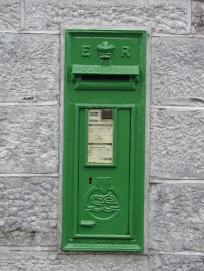 post boxpost box · 1.2 mi
 European YewEuropean Yew · 1.8 mi
 European ashEuropean ash · 1.8 mi
 CastleCastle, unclassified · 2.7 mi
 Roscommon CastleCastle · 2.8 mi
 Sally IslandIslet · 5.2 mi
 Castle KellyCastle, tower house · 7.0 mi
 Mount MaryMountain / peak · 7.0 mi
 Site of Killomaine Grave YardArchaeological place · 7.7 mi