What is recorded here
Indicated is a moated site in Cloonybeirne (roscommon By.), County Roscommon, Ireland. It occupies a gentle SE-facing slope where earthen banks and fosses border a rectangular grass-covered area. Magnetic gradiometry detected an earlier enclosure inside the NW corner, while a possible rath lies nearby to the west.
On the gentle SE-facing slope of a broad hill. Rectangular grass-covered area (dims 61.3m E-W; 42m N-S) defined by earthen banks (Wth 2.2-3.2m; int. H 0.1-0.3m; ext. H 0.6m) on the N and E sides, and a scarp (H 0.35-1m) elsewhere. There are fosses (Wth of top 4.4-6m; Wth of base 2.1-3.7m; D 0.15-0.45m) on each side, but there is no visible entrance. Magnetic gradiometry conducted by the Discovery Programme in 2008 revealed an earlier enclosure or rath (RO028-165002-) inside the NW corner. The possible rath (RO029-164----) is c. 190m to the W. (www.discoveryprogramme.ie)
Compiled by: Michael Moore
Date of upload: 24 August 2010
The monument record does not grant public access. Check the route and ask the landowner before entering private land.
- What survives
- Recorded monument
Places near here
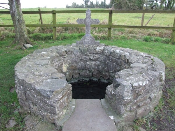 Holy WellHoly well · 435 yd
 Embanked enclosureCastle, unclassified · 794 yd
 Enclosure in Ballyglass (roscommon By.)Enclosure · 1092 yd
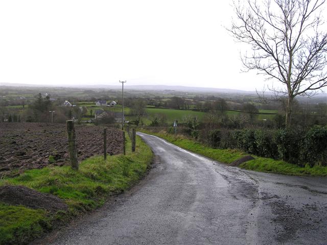 RoadRoad, road/trackway · 1218 yd
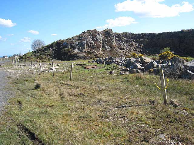 Quarry in BallydalyQuarry · 1385 yd
 Leitrim CastleCastle, unclassified · 1.9 mi
 Cruachan Aí Heritage CentreMuseum · 3.5 mi
 ToberagullaSpring · 4.1 mi
 European ashEuropean ash · 4.1 mi
 Common LimeCommon Lime · 4.6 mi
 Strokestown House GardensHeritage attraction · 4.7 mi
 FerrinchIslet · 9.2 mi