What is recorded here
Indicated is a fairy fort or earthen ringfort in Cloonybeirne (roscommon By.), County Roscommon, Ireland. It appears as a circular enclosure thirty-five to forty metres wide on the 1837 Ordnance Survey map and as a twenty-five metre bank arc on the 1930 edition. The site sits on a gentle south-facing slope but remains hidden beneath reclaimed pasture, while a separate moated location stands one hundred and ninety metres east.
Marked as a circular enclosure (diam. c. 35-40m) on the 1837 ed. of the OS 6-inch map, and as an arc of a bank (C c. 25m N-E) on the 1930 ed. Situated on the gentle S-facing slope of a broad hill, it is not visible at ground level in reclaimed pasture. Moated site (RO028-165001-) is c. 190m to the E.
Compiled by: Michael Moore
Date of upload: 24 August 2010
The monument record does not grant public access. Check the route and ask the landowner before entering private land.
- What survives
- Recorded monument
Places near here
 Embanked enclosureCastle, unclassified · 564 yd
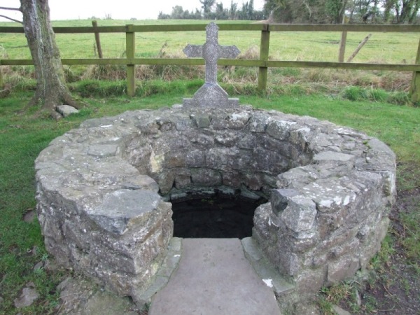 Holy WellHoly well · 693 yd
 Enclosure in Ballyglass (roscommon By.)Enclosure · 841 yd
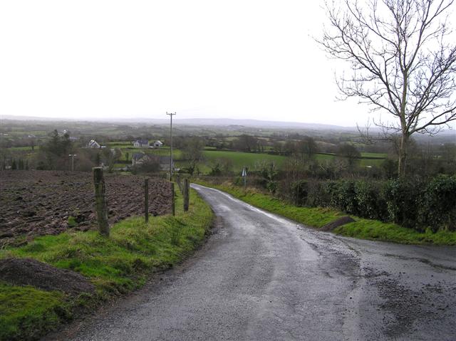 RoadRoad, road/trackway · 989 yd
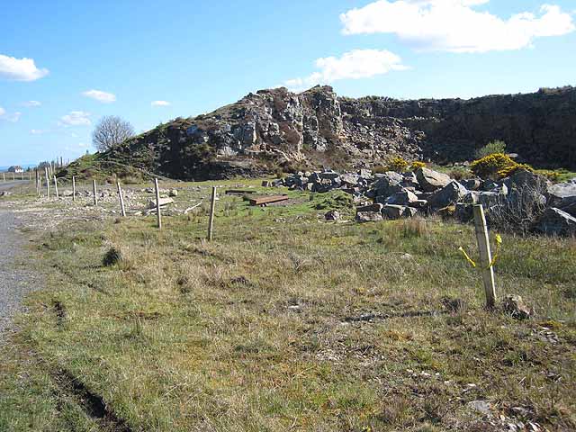 Quarry in BallydalyQuarry · 1190 yd
 Leitrim CastleCastle, unclassified · 2.0 mi
 Cruachan Aí Heritage CentreMuseum · 3.4 mi
 ToberagullaSpring · 4.0 mi
 European ashEuropean ash · 4.0 mi
 Common LimeCommon Lime · 4.8 mi
 Strokestown House GardensHeritage attraction · 4.9 mi
 FerrinchIslet · 9.3 mi